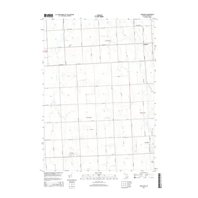
2014 Map of Applegate
USGS Topo · Published 2014About this map
The Black River flows southward through this Sanilac County landscape, anchoring a network of agricultural drainage systems and small-town Michigan settlements. The village of Applegate sits at the intersection of Applegate Rd and Sherman Rd, while the larger community of Croswell occupies the southeast corner, where the river winds toward the lake. This area is defined by its rectilinear road grid, which follows section lines established during the early land surveys.
Find a feature on this map
63 named features on this map. Tap any name to fly to it.
Don’t see what you’re looking for? This feature index may not catch every label — zoom into the map to look around manually.
Map Details
Editions of this 2014 Applegate Map
This is the sole edition of this map. No revisions or reprints were ever made.
Other maps of this area

1954 · Flint
USGS Topo · 1:250,000

1958 · Flint
USGS Topo · 1:250,000

1961 · Roseburg
USGS Topo · 1:24,000
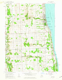
1961 · Jeddo
USGS Topo · 1:24,000

1961 · Yale
USGS Topo · 1:24,000

1963 · Sandusky
USGS Topo · 1:24,000

1963 · Peck
USGS Topo · 1:24,000

1963 · Croswell
USGS Topo · 1:24,000

1963 · Port Sanilac
USGS Topo · 1:24,000

1963 · Applegate
USGS Topo · 1:24,000