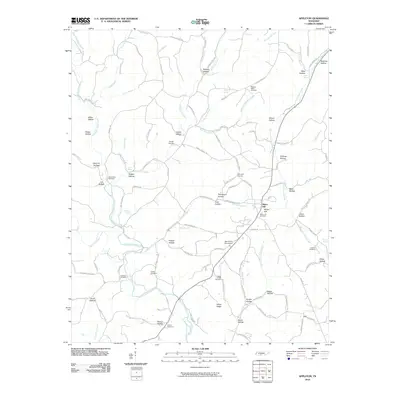
2010 Map of Appleton
USGS Topo · Published 2010About this map
Minor Hill serves as a primary geographic anchor for this section of Tennessee, where the landscape is defined by the convergence of several major creek forks. The drainage patterns of East Fork Sugar Creek, West Fork Sugar Creek, and West Fork Shoal Creek have carved a series of distinct hollows, many of which carry local family names such as Givens Hollow, Coffman Hollow, and Miller Hollow.
Find a feature on this map
120 named features on this map. Tap any name to fly to it.
Don’t see what you’re looking for? This feature index may not catch every label — zoom into the map to look around manually.
Map Details
Editions of this 2010 Appleton Map
This is the sole edition of this map. No revisions or reprints were ever made.
Other maps of this area

1914 · Rogersville
USGS Topo · 1:48,000

1916 · Rogersville
USGS Topo · 1:62,500

1936 · Union Hill
USGS Topo · 1:24,000

1936 · Aspen Hill
USGS Topo · 1:24,000

1936 · Lexington
USGS Topo · 1:24,000

1936 · Lawrenceburg
USGS Topo · 1:24,000

1936 · Pulaski
USGS Topo · 1:24,000

1936 · Bodenham
USGS Topo · 1:24,000

1936 · Appleton
USGS Topo · 1:24,000

1936 · Bonnertown
USGS Topo · 1:24,000