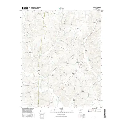
2016 Map of Appleton
USGS Topo · Published 2016About this map
Minor Hill sits at the intersection of local history and rural landscape near the Lawrence and Giles county line in Tennessee. This area is characterized by a dense network of hollows and ridges, including Sugar Creek Ridge and White Ridge, which have long shaped the settlement patterns of communities like Appleton, Peach, and Marbuts. The landscape is deeply tied to its water sources, with the East Fork Sugar Creek and Shoal Creek winding through the terrain, punctuated by named springs like Watkins Spring and Flippo Spring.
Find a feature on this map
134 named features on this map. Tap any name to fly to it.
Don’t see what you’re looking for? This feature index may not catch every label — zoom into the map to look around manually.
Map Details
Editions of this 2016 Appleton Map
This is the sole edition of this map. No revisions or reprints were ever made.
Other maps of this area

1914 · Rogersville
USGS Topo · 1:48,000

1916 · Rogersville
USGS Topo · 1:62,500

1936 · Union Hill
USGS Topo · 1:24,000

1936 · Aspen Hill
USGS Topo · 1:24,000

1936 · Lexington
USGS Topo · 1:24,000

1936 · Lawrenceburg
USGS Topo · 1:24,000

1936 · Pulaski
USGS Topo · 1:24,000

1936 · Bodenham
USGS Topo · 1:24,000

1936 · Appleton
USGS Topo · 1:24,000

1936 · Bonnertown
USGS Topo · 1:24,000