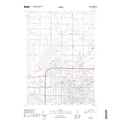
2018 Map of Appleton
USGS Topo · Published 2018About this map
The Fox River corridor anchors this 2018 study of Appleton, showing the city's modern extent as it transitions from dense urban blocks to the more open township land of Outagamie County. A significant concentration of community history is preserved in the city's many burial grounds, including the large Riverside Cem and Saint Joseph Cem along the river bluffs, as well as the Moses Montefiore Cem and Zion Cem in the city center.
Find a feature on this map
145 named features on this map. Tap any name to fly to it.
Don’t see what you’re looking for? This feature index may not catch every label — zoom into the map to look around manually.
Map Details
Editions of this 2018 Appleton Map
This is the sole edition of this map. No revisions or reprints were ever made.
Other maps of this area

1911 · Neenah
USGS Topo · 1:62,500

1955 · Neenah
USGS Topo · 1:62,500

1955 · Appleton
USGS Topo · 1:24,000

1955 · Appleton
USGS Topo · 1:62,500

1955 · Neenah
USGS Topo · 1:24,000

1955 · Green Bay
USGS Topo · 1:250,000

1956 · New London
USGS Topo · 1:48,000

1961 · Oshkosh
USGS Topo · 1:62,500

1961 · Oshkosh NE
USGS Topo · 1:24,000
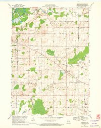
1969 · Greenville
USGS Topo · 1:24,000