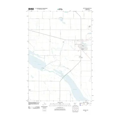
2010 Map of Appleton
USGS Topo · Published 2010About this map
The Pomme de Terre River winds through the heart of Appleton, eventually meeting the Minnesota River in a landscape defined by significant water management and glacial history. This 2010 survey illustrates the complex hydrology of the region, where the Marsh Lake Dam regulates the flow between Marsh Lake and the northern reaches of Lac Qui Parle. The town of Appleton serves as a local hub, anchored by its central Appleton Post Office and supporting regional aviation via the Appleton Municipal Airport and Telford Airport.
Find a feature on this map
26 named features on this map. Tap any name to fly to it.
Don’t see what you’re looking for? This feature index may not catch every label — zoom into the map to look around manually.
Map Details
Editions of this 2010 Appleton Map
This is the sole edition of this map. No revisions or reprints were ever made.
Other maps of this area

1953 · Milbank
USGS Topo · 1:250,000

1953 · Saint Cloud
USGS Topo · 1:250,000

1957 · Saint Cloud
USGS Topo · 1:250,000

1958 · Milbank
USGS Topo · 1:250,000

1958 · Saint Cloud
USGS Topo · 1:250,000

1958 · Cerro Gordo
USGS Topo · 1:24,000

1958 · Madison
USGS Topo · 1:24,000

1958 · Correll
USGS Topo · 1:24,000

1958 · Milan
USGS Topo · 1:24,000

1958 · Milan NW
USGS Topo · 1:24,000