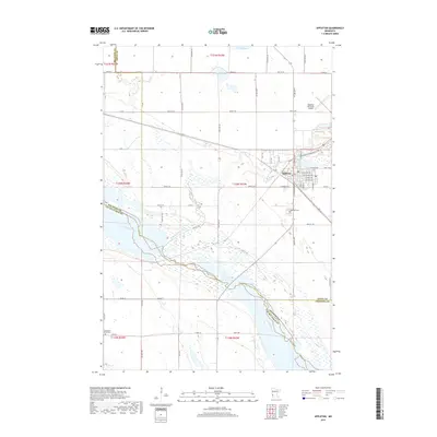
2019 Map of Appleton
USGS Topo · Published 2019About this map
Appleton serves as the focal point of this region, situated where the Pomme de Terre River flows toward its confluence with the Minnesota River. The map illustrates a landscape shaped by glacial history, featuring prairie wetlands and small water bodies like Shible Lake and Spring Lake. A well-defined grid of township and county roads, including Co Rd 54 and 90th St SW, reveals the organized agricultural development of the area. Local history is anchored at sites such as Appleton Cem and the Minnesota Valley Cem, while the Appleton Municipal Airport indicates the modern infrastructure supporting this rural community. The convergence of multiple county lines, including those of Big Stone, Lac qui Parle, Swift, and Chippewa counties, highlights the town's position as a cross-border regional hub.
Find a feature on this map
41 named features on this map. Tap any name to fly to it.
Don’t see what you’re looking for? This feature index may not catch every label — zoom into the map to look around manually.
Map Details
Editions of this 2019 Appleton Map
This is the sole edition of this map. No revisions or reprints were ever made.
Other maps of this area

1953 · Milbank
USGS Topo · 1:250,000

1953 · Saint Cloud
USGS Topo · 1:250,000

1957 · Saint Cloud
USGS Topo · 1:250,000

1958 · Milbank
USGS Topo · 1:250,000

1958 · Saint Cloud
USGS Topo · 1:250,000

1958 · Cerro Gordo
USGS Topo · 1:24,000

1958 · Madison
USGS Topo · 1:24,000

1958 · Correll
USGS Topo · 1:24,000

1958 · Milan
USGS Topo · 1:24,000

1958 · Milan NW
USGS Topo · 1:24,000