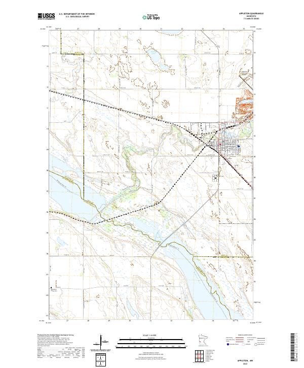
2022 Map of Appleton
USGS Topo · Published 2022About this map
Appleton serves as the focal point of this western Minnesota landscape, where the Pomme de Terre River winds through the prairie to its confluence with the Minnesota River. The grid of the town is well-defined, featuring residential streets like E Snelling Ave and E Thielke Ave alongside the Appleton Municipal Airport. The convergence of several county boundaries, including the meeting of Swift, Big Stone, Lac qui Parle, and Chippewa counties, highlights the importance of this river junction as a regional geographic anchor.
Find a feature on this map
45 named features on this map. Tap any name to fly to it.
Don’t see what you’re looking for? This feature index may not catch every label — zoom into the map to look around manually.
Map Details
Editions of this 2022 Appleton Map
This is the sole edition of this map. No revisions or reprints were ever made.
Other maps of this area

1953 · Milbank
USGS Topo · 1:250,000

1953 · Saint Cloud
USGS Topo · 1:250,000

1957 · Saint Cloud
USGS Topo · 1:250,000

1958 · Milbank
USGS Topo · 1:250,000

1958 · Saint Cloud
USGS Topo · 1:250,000

1958 · Cerro Gordo
USGS Topo · 1:24,000

1958 · Madison
USGS Topo · 1:24,000

1958 · Correll
USGS Topo · 1:24,000

1958 · Milan
USGS Topo · 1:24,000

1958 · Milan NW
USGS Topo · 1:24,000