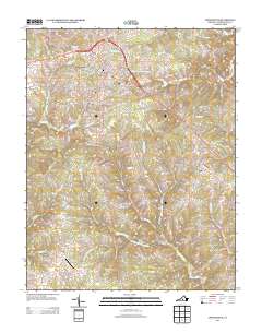
2013 Map of Appomattox
USGS Topo · Published 2013About this map
Appomattox serves as the focal point of this 2013 survey, showcasing the street grid and infrastructure of the town near the headwaters of the S Fork Appomattox River. The landscape is defined by a dense network of streams and creeks, including the Falling River, Big Cub Cr, and the Right Hand Fork Big Cub Cr, which drain the undulating Virginia countryside. To the southeast, the settlement of Evergreen sits along the primary highway corridor, while Chap marks a smaller community cluster to the southwest.
Find a feature on this map
109 named features on this map. Tap any name to fly to it.
Don’t see what you’re looking for? This feature index may not catch every label — zoom into the map to look around manually.
Map Details
Editions of this 2013 Appomattox Map
This is the sole edition of this map. No revisions or reprints were ever made.
Other maps of this area

1892 · Appomattox
USGS Topo · 1:125,000

1947 · Roanoke
USGS Topo · 1:250,000

1956 · Brookneal
USGS Topo · 1:62,500

1956 · Charlotte Court House
USGS Topo · 1:62,500

1958 · Appomattox
USGS Topo · 1:62,500

1958 · Pamplin City
USGS Topo · 1:62,500

1959 · Roanoke
USGS Topo · 1:250,000

1963 · Roanoke
USGS Topo · 1:250,000
1966 · Mike
USGS Topo · 1:24,000
1968 · Red House
USGS Topo · 1:24,000