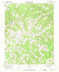
1968 Map of Red House
USGS Topo · Published 1971About this map
Red House serves as a central hub in this Virginia landscape, where the borders of Charlotte, Campbell, and Appomattox Counties converge. The terrain is defined by a dense network of tributaries including Falling River, Marrowbone Creek, and Little Lucks Branch, reflecting the rural character of the Piedmont during the late 1960s. Local life and history are anchored by several country churches and their associated grounds, such as Providence Ch, Trinity Ch, and the Beautiful Zion Ch Cem. A notable industrial element is the utility corridor marked by a Pipeline and a Pumping Station, cutting across the drainage basins of Jennican Branch and Pearls Creek. This survey also preserves the locations of smaller communities like Rolling Hill and Pentecost, providing a detailed record of local geography before modern development altered the rural road networks and field lines.
Find a feature on this map
34 named features on this map. Tap any name to fly to it.
Don’t see what you’re looking for? This feature index may not catch every label — zoom into the map to look around manually.
Map Details
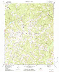
Editions of this 1968 Red House Map
2 editions found
Other maps of this area

1892 · Appomattox
USGS Topo · 1:125,000

1947 · Roanoke
USGS Topo · 1:250,000

1956 · Brookneal
USGS Topo · 1:62,500

1956 · Charlotte Court House
USGS Topo · 1:62,500

1958 · Appomattox
USGS Topo · 1:62,500

1958 · Pamplin City
USGS Topo · 1:62,500

1959 · Roanoke
USGS Topo · 1:250,000

1963 · Roanoke
USGS Topo · 1:250,000
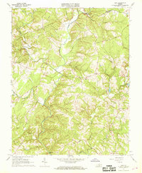
1966 · Mike
USGS Topo · 1:24,000
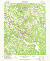
1966 · Brookneal
USGS Topo · 1:24,000