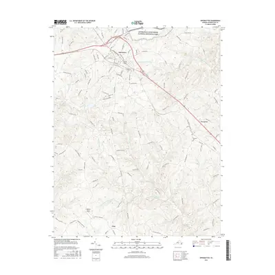
2016 Map of Appomattox
USGS Topo · Published 2016About this map
Appomattox Court House National Historical Park anchors the northern portion of this map, preserving the grounds of the 1865 surrender and the village of Old Appomattox Court House. The surrounding landscape transitions from the developed center of modern Appomattox to a network of rural hamlets and timbered creek bottoms. The terrain is defined by the headwaters of several significant drainage systems, including the S Fork Appomattox River and the Falling River, which flow through a topography of low ridges and winding branch lines.
Find a feature on this map
115 named features on this map. Tap any name to fly to it.
Don’t see what you’re looking for? This feature index may not catch every label — zoom into the map to look around manually.
Map Details
Editions of this 2016 Appomattox Map
This is the sole edition of this map. No revisions or reprints were ever made.
Other maps of this area

1892 · Appomattox
USGS Topo · 1:125,000

1947 · Roanoke
USGS Topo · 1:250,000

1956 · Brookneal
USGS Topo · 1:62,500

1956 · Charlotte Court House
USGS Topo · 1:62,500

1958 · Appomattox
USGS Topo · 1:62,500

1958 · Pamplin City
USGS Topo · 1:62,500

1959 · Roanoke
USGS Topo · 1:250,000

1963 · Roanoke
USGS Topo · 1:250,000
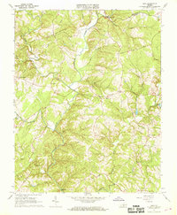
1966 · Mike
USGS Topo · 1:24,000
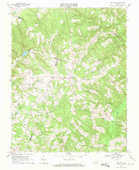
1968 · Red House
USGS Topo · 1:24,000