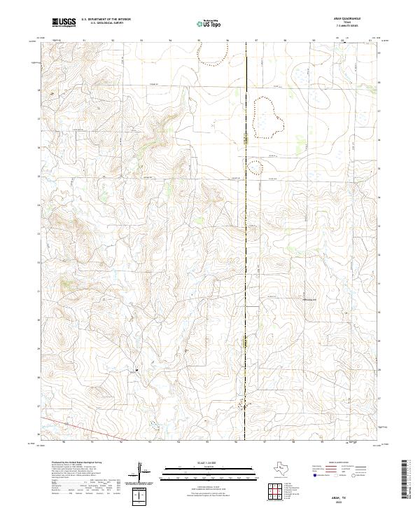
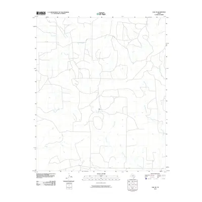
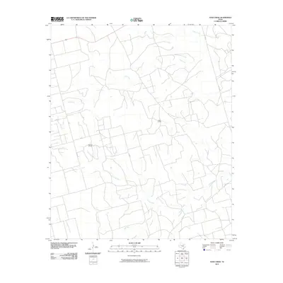
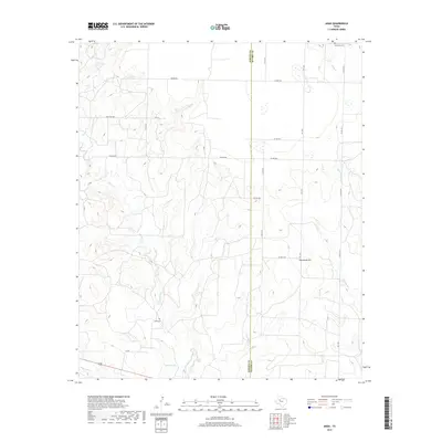
2022 Map of Arah
USGS Topo · Published 2022About this map
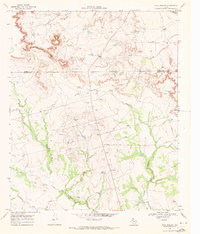
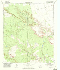
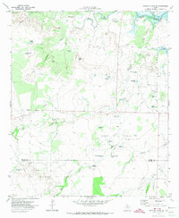
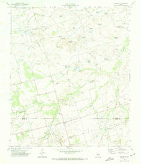
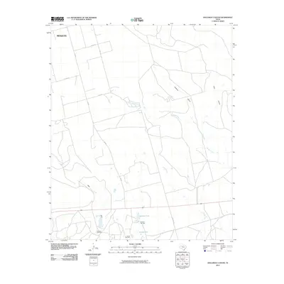
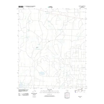
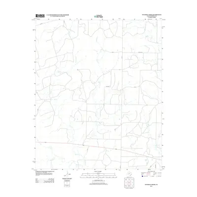
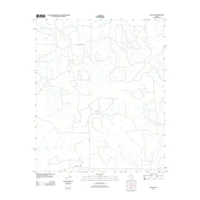
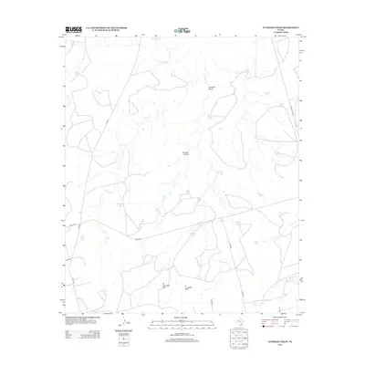
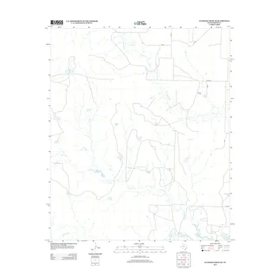
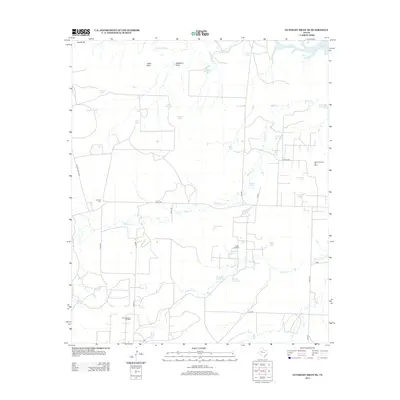
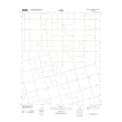
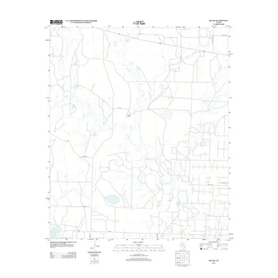
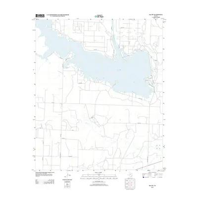
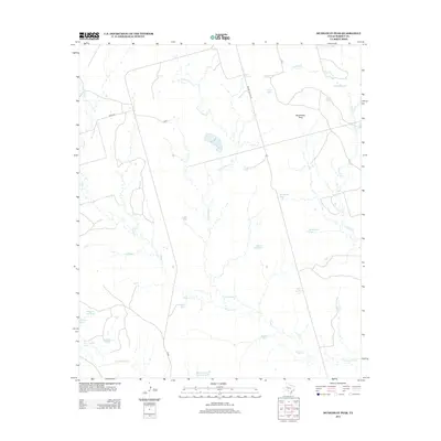
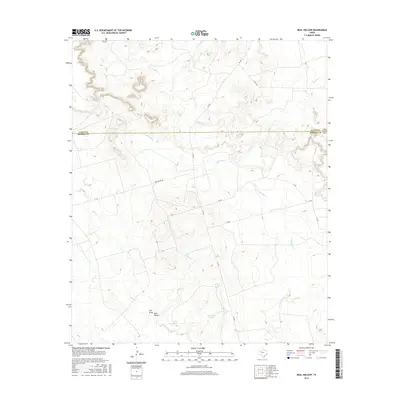
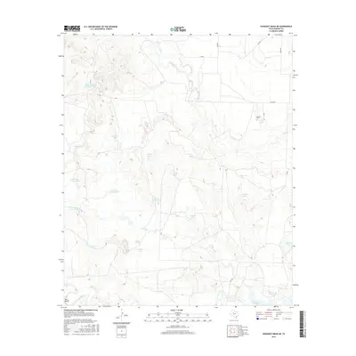
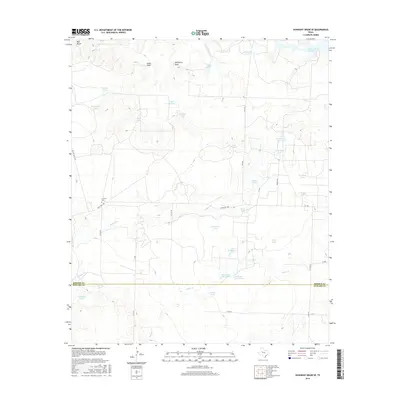
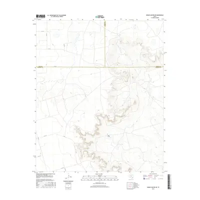
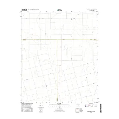
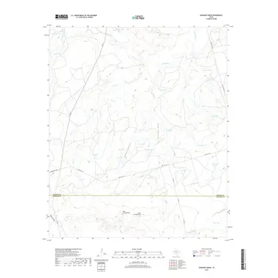
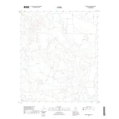
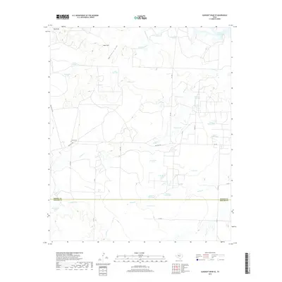
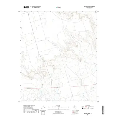
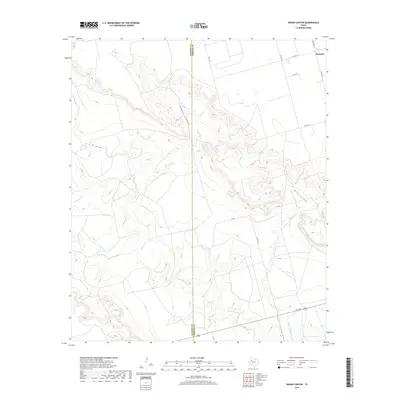
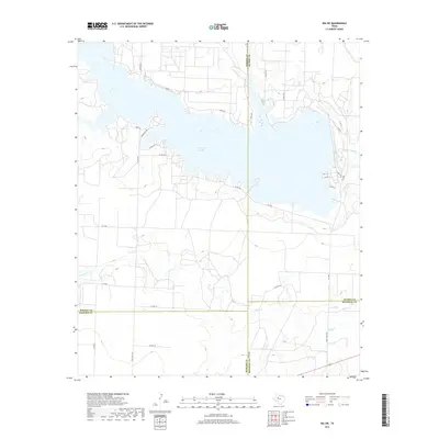
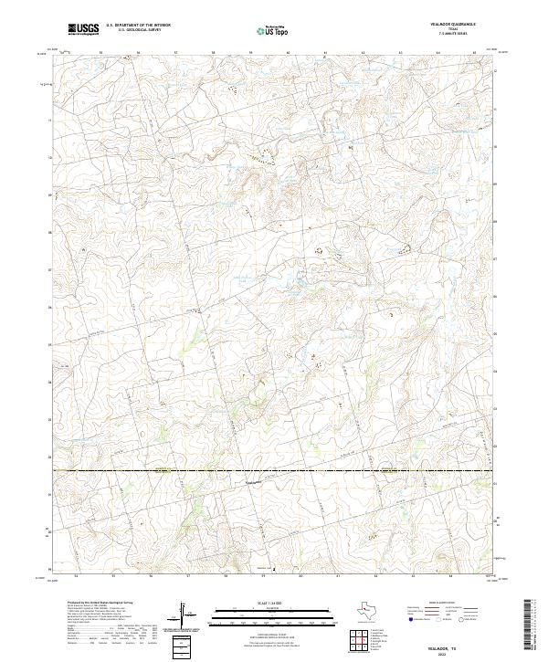
York Cem serves as a quiet landmark on this West Texas landscape, situated west of the Borden and Scurry county line. The terrain is defined by a network of drainage systems, including Gavett Cr, Deep Cr, and Mooar Cr, which carve through the plains toward Holmes Lake and Red Mud Cr. This 2022 survey illustrates a region dominated by ranching and agricultural infrastructure, where Hathaway Hill rises as a prominent topographical feature. The map details an extensive grid of rural transit, from state-maintained FM 1269 and Highway 180 to local routes like Hughes Rd and Toombs Rd, reflecting the modern layout of these high plains counties.
Find a feature on this map
27 named features on this map. Tap any name to fly to it.
Don’t see what you’re looking for? This feature index may not catch every label — zoom into the map to look around manually.
Map Details
Editions of this 2022 Arah Map
This is the sole edition of this map. No revisions or reprints were ever made.
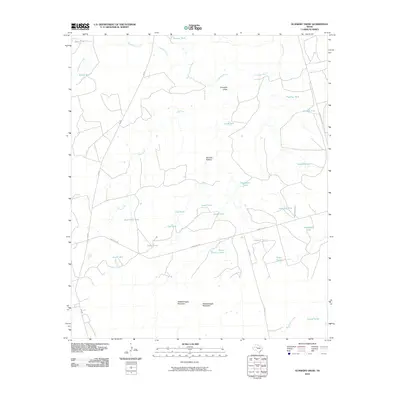
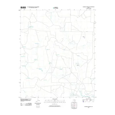
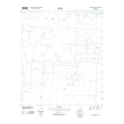
Historical Maps of Arah Through Time
102 maps found
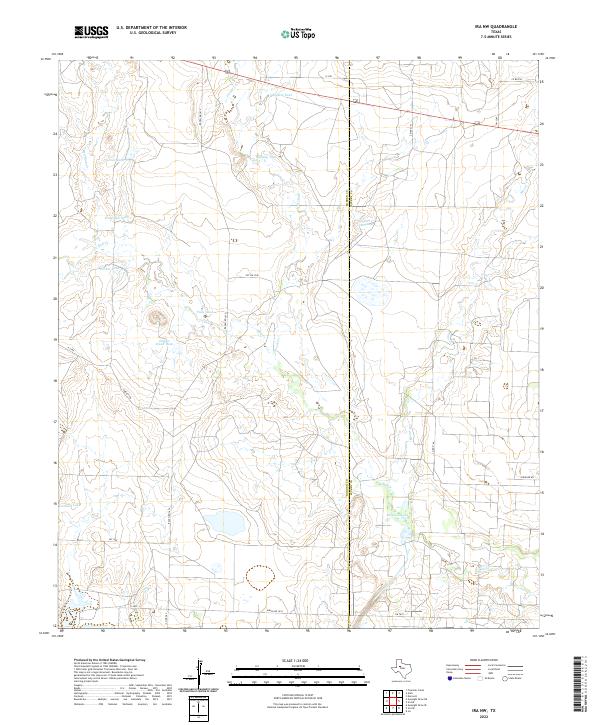
1951 Ira NW
Borden County, TX
1951 Ira SW
Borden County, TX
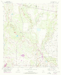
1969 Arah
Borden County, TX
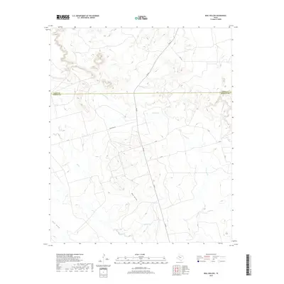
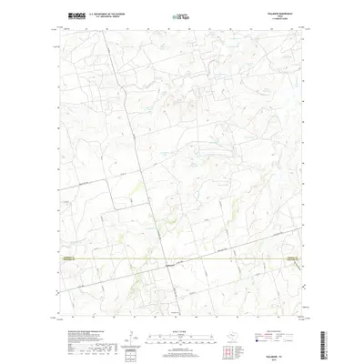
1969 Beal Hollow
Borden County, TX
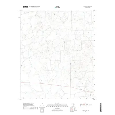
1969 Fivemile Creek
Borden County, TX
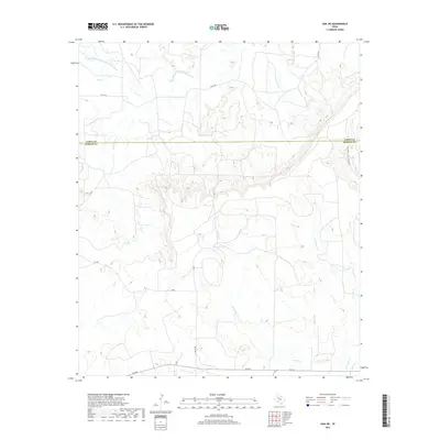
1969 Gail NE
Borden County, TX
1969 Holloway Canyon
Borden County, TX
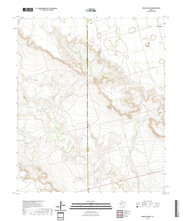
1969 Indian Canyon
Borden County, TX
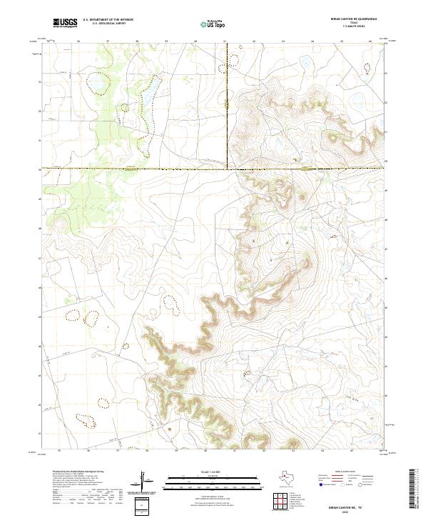
1969 Indian Canyon NE
Borden County, TX
1970 Gunsight Draw
Borden County, TX
1970 Gunsight Draw NE
Borden County, TX
1970 Gunsight Draw SE
Borden County, TX
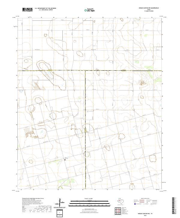
1970 Indian Canyon NW
Borden County, TX

1970 Long Draw
Borden County, TX
1970 Mushaway Peak
Borden County, TX
1970 Sand Creek
Borden County, TX
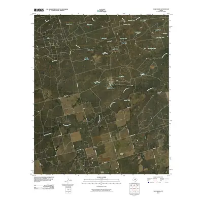
1970 Vealmoor
Borden County, TX
2010 Arah
Borden County, TX
2010 Beal Hollow
Borden County, TX
2010 Fivemile Creek
Borden County, TX
2010 Gail NE
Borden County, TX
2010 Gunsight Draw
Borden County, TX
2010 Gunsight Draw NE
Borden County, TX
2010 Gunsight Draw SE
Borden County, TX
2010 Holloway Canyon
Borden County, TX
2010 Indian Canyon
Borden County, TX
2010 Indian Canyon NE
Borden County, TX
2010 Indian Canyon NW
Borden County, TX
2010 Ira NW
Borden County, TX
2010 Ira SW
Borden County, TX
2010 Long Draw
Borden County, TX
2010 Mushaway Peak
Borden County, TX
2010 Sand Creek
Borden County, TX
2010 Vealmoor
Borden County, TX
2012 Arah
Borden County, TX
2012 Beal Hollow
Borden County, TX
2012 Fivemile Creek
Borden County, TX
2012 Gail NE
Borden County, TX
2012 Gunsight Draw
Borden County, TX
2012 Gunsight Draw NE
Borden County, TX
2012 Gunsight Draw SE
Borden County, TX
2012 Holloway Canyon
Borden County, TX
2012 Indian Canyon
Borden County, TX
2012 Indian Canyon NE
Borden County, TX
2012 Indian Canyon NW
Borden County, TX
2012 Ira NW
Borden County, TX
2012 Ira SW
Borden County, TX
2012 Long Draw
Borden County, TX
2012 Mushaway Peak
Borden County, TX
2012 Sand Creek
Borden County, TX
2012 Vealmoor
Borden County, TX
2016 Arah
Borden County, TX
2016 Beal Hollow
Borden County, TX
2016 Fivemile Creek
Borden County, TX
2016 Gail NE
Borden County, TX
2016 Gunsight Draw
Borden County, TX
2016 Gunsight Draw NE
Borden County, TX
2016 Gunsight Draw SE
Borden County, TX
2016 Holloway Canyon
Borden County, TX
2016 Indian Canyon
Borden County, TX
2016 Indian Canyon NE
Borden County, TX
2016 Indian Canyon NW
Borden County, TX
2016 Ira NW
Borden County, TX
2016 Ira SW
Borden County, TX
2016 Long Draw
Borden County, TX
2016 Mushaway Peak
Borden County, TX
2016 Sand Creek
Borden County, TX
2016 Vealmoor
Borden County, TX
2019 Arah
Borden County, TX
2019 Beal Hollow
Borden County, TX
2019 Fivemile Creek
Borden County, TX
2019 Gail NE
Borden County, TX
2019 Gunsight Draw
Borden County, TX
2019 Gunsight Draw NE
Borden County, TX
2019 Gunsight Draw SE
Borden County, TX
2019 Holloway Canyon
Borden County, TX
2019 Indian Canyon
Borden County, TX
2019 Indian Canyon NE
Borden County, TX
2019 Indian Canyon NW
Borden County, TX
2019 Ira NW
Borden County, TX
2019 Ira SW
Borden County, TX
2019 Long Draw
Borden County, TX
2019 Mushaway Peak
Borden County, TX
2019 Sand Creek
Borden County, TX
2019 Vealmoor
Borden County, TX
2022 Arah
Borden County, TX
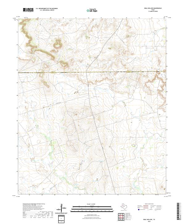
2022 Beal Hollow
Borden County, TX
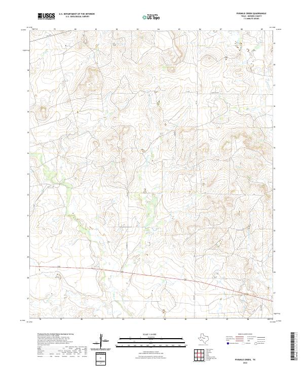
2022 Fivemile Creek
Borden County, TX
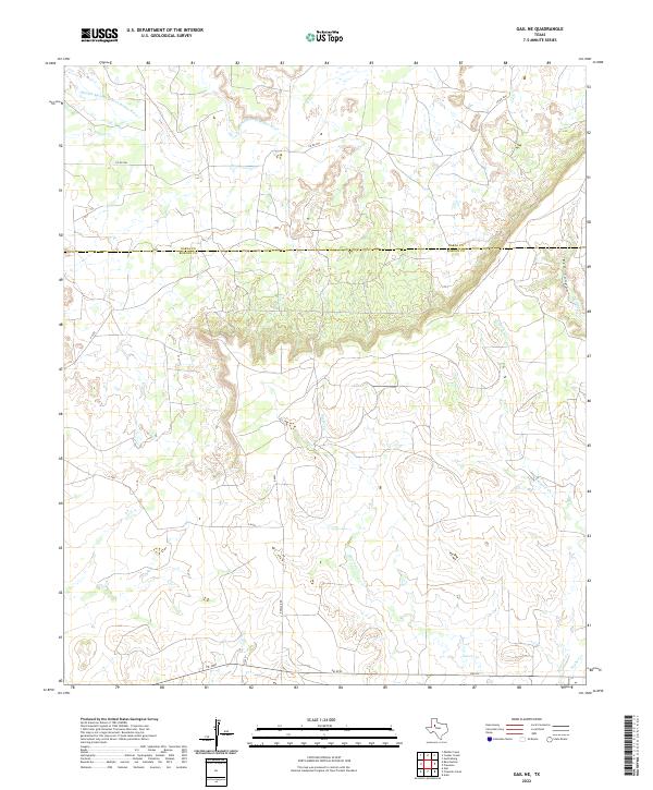
2022 Gail NE
Borden County, TX
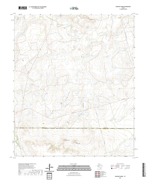
2022 Gunsight Draw
Borden County, TX
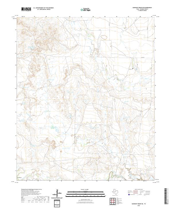
2022 Gunsight Draw NE
Borden County, TX
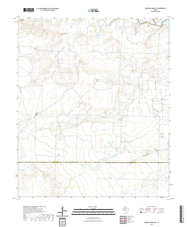
2022 Gunsight Draw SE
Borden County, TX
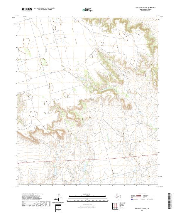
2022 Holloway Canyon
Borden County, TX
2022 Indian Canyon
Borden County, TX
2022 Indian Canyon NE
Borden County, TX
2022 Indian Canyon NW
Borden County, TX
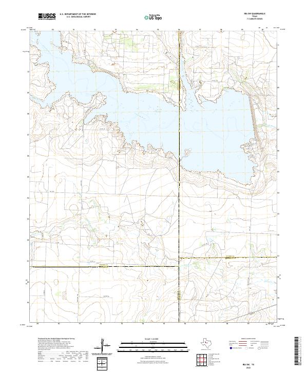
2022 Ira NW
Borden County, TX
2022 Ira SW
Borden County, TX
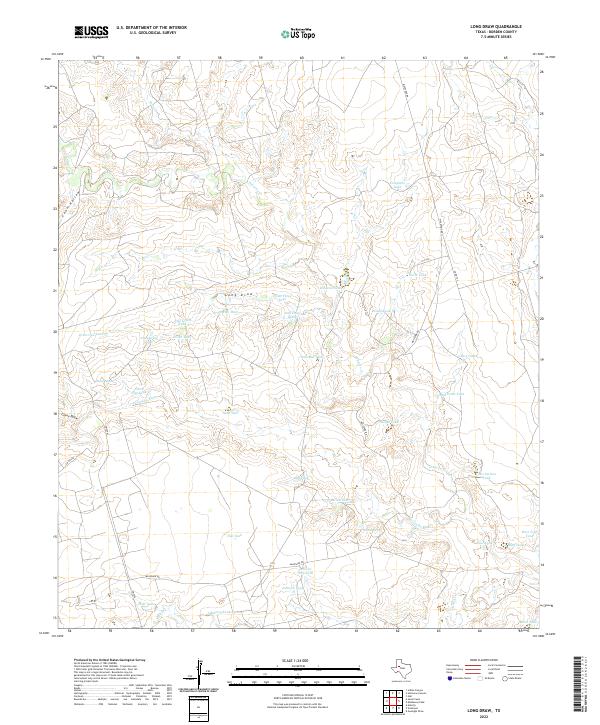
2022 Long Draw
Borden County, TX
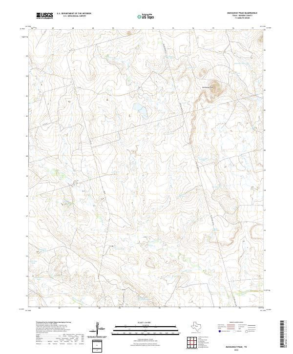
2022 Mushaway Peak
Borden County, TX
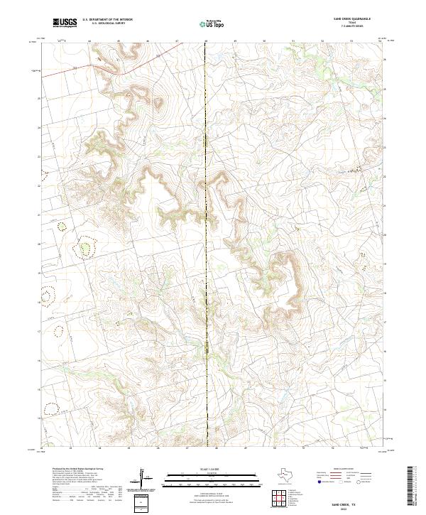
2022 Sand Creek
Borden County, TX
2022 Vealmoor
Borden County, TX