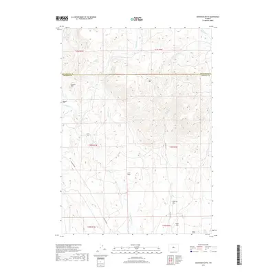
2017 Map of Arapahoe Butte
USGS Topo · Published 2017About this map
Arapahoe Butte and the high plateaus of the Owl Creek Mountains region are the focus of this 2017 survey along the Hot Springs and Fremont County line. The terrain is characterized by a series of prominent high points, including Lysite Mtn, Chalk Butte, and Noble Ridge, separated by a complex network of seasonal drainages and draws. Remote water sources like Willow Spring and Puzzle Spring provided critical hydration points in this arid landscape. Transport through the area is defined by the winding paths of Bridger Creek Rd and Lysite Creek Rd, which follow the natural contours of the land. The drainage patterns of Bridger Cr and the E Fork Lysite Cr illustrate the watershed of these central Wyoming highlands.
Find a feature on this map
26 named features on this map. Tap any name to fly to it.
Don’t see what you’re looking for? This feature index may not catch every label — zoom into the map to look around manually.
Map Details
Editions of this 2017 Arapahoe Butte Map
This is the sole edition of this map. No revisions or reprints were ever made.
Other maps of this area

1952 · Gates Butte
USGS Topo · 1:24,000

1952 · Cottonwood Pass
USGS Topo · 1:24,000

1952 · Rathbun Ranch
USGS Topo · 1:24,000

1952 · Lysite
USGS Topo · 1:24,000

1952 · Lysite SE
USGS Topo · 1:24,000

1952 · Arapahoe Butte
USGS Topo · 1:24,000

1952 · De Pass
USGS Topo · 1:24,000

1952 · Battle Mountain
USGS Topo · 1:24,000

1952 · Bull Mountain
USGS Topo · 1:24,000

1955 · Arminto
USGS Topo · 1:250,000