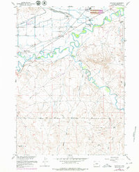
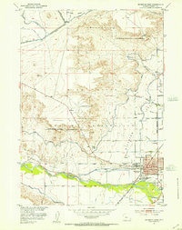
1959 Map of Arapahoe
USGS Topo · Published 1979About this map
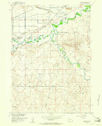
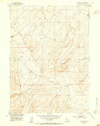
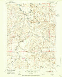
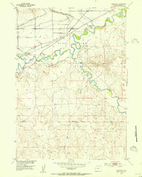
The confluence of the Little Wind River and the Popo Agie R forms a complex riparian landscape at the heart of the Wind River Reservation. Settled life in the mid-20th century is anchored by the mission at St Stephens and the community of Arapahoe. The map reveals an intricate network of irrigation canals, including the Mission Ditch, Sub-Agency Ditch, and Lefthand Ditch, which redirect water across the valley to support local agriculture. Traces of previous infrastructure are visible in the Old Railroad Grade cutting across the northern sections, while the Indian Reservation Boundary defines the southern extent of this survey. Toward the southeast, the terrain shifts into the broken draws of Preacher Draw and the Prospect Area, where the landscape becomes more arid and less densely settled compared to the river-fed lowlands.
Find a feature on this map
26 named features on this map. Tap any name to fly to it.
Don’t see what you’re looking for? This feature index may not catch every label — zoom into the map to look around manually.
Map Details
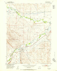
Editions of this 1959 Arapahoe Map
2 editions found
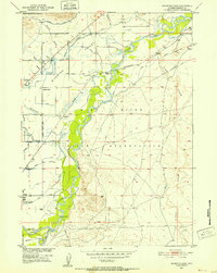
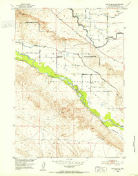
Other maps of this area
1950 · Riverton East
USGS Topo · 1:24,000
1951 · Pavillion SE
USGS Topo · 1:24,000
1951 · Riverton West
USGS Topo · 1:24,000
1952 · Hudson
USGS Topo · 1:24,000
1952 · Lander SE
USGS Topo · 1:24,000
1953 · Arapahoe NE
USGS Topo · 1:24,000
1953 · Ninemile Hill
USGS Topo · 1:24,000
1953 · Bringolf Ranch
USGS Topo · 1:24,000
1953 · Arapahoe
USGS Topo · 1:24,000

1955 · Thermopolis
USGS Topo · 1:250,000