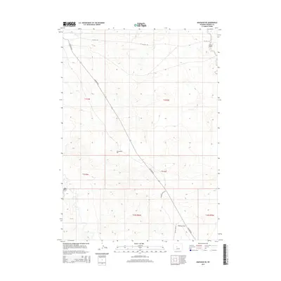
2015 Map of Arapahoe NE
USGS Topo · Published 2015About this map
The Little Wind River cuts across the far northwest corner of this Fremont County landscape, which is dominated by a high-desert drainage system. The terrain rises significantly toward Sevenmile Hill and is characterized by a series of deep draws and ephemeral watercourses, including Kirby Draw and Halfway Draw. Transport through this open country is defined by the diagonal line of Sand Draw Rd, a primary route connecting the northern and southern sectors of the quadrangle.
Find a feature on this map
16 named features on this map. Tap any name to fly to it.
Don’t see what you’re looking for? This feature index may not catch every label — zoom into the map to look around manually.
Map Details
Editions of this 2015 Arapahoe NE Map
This is the sole edition of this map. No revisions or reprints were ever made.
Other maps of this area

1950 · Riverton East
USGS Topo · 1:24,000

1951 · Indian Butte
USGS Topo · 1:24,000

1951 · Riverton West
USGS Topo · 1:24,000

1953 · Arapahoe NE
USGS Topo · 1:24,000

1953 · Ninemile Hill
USGS Topo · 1:24,000

1953 · Bringolf Ranch
USGS Topo · 1:24,000

1953 · Arapahoe
USGS Topo · 1:24,000

1953 · Sand Draw
USGS Topo · 1:24,000

1955 · Thermopolis
USGS Topo · 1:250,000

1955 · Lander
USGS Topo · 1:250,000