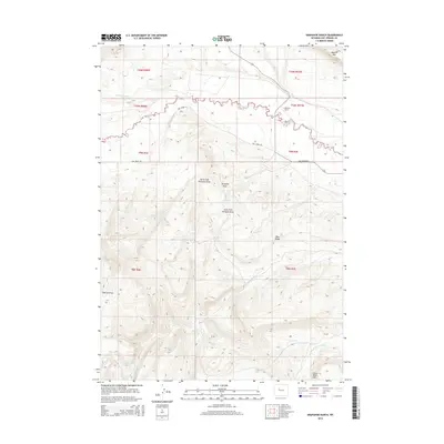
2015 Map of Arapahoe Ranch
USGS Topo · Published 2015About this map
Arapahoe Ranch stands as a focal point in this 2015 survey of Hot Springs County, Wyoming, situated north of the Owl Creek Rd corridor. The landscape is defined by its complex drainage network, where Owl Creek is fed by the North and South Forks. To the south, the terrain rises into prominent features such as Blue Ridge and Little Table Mtn, separated by the various forks of Mud Creek. This territory reflects a high-desert rangeland environment, where water sources like Boghole Spring, Knight Spring, and Chokecherry Spring provide critical relief. The presence of Pumpkin Draw and its tributaries underscores the erosional character of this region, which is bounded to the north by the escarpment of Padlock Rim.
Find a feature on this map
32 named features on this map. Tap any name to fly to it.
Don’t see what you’re looking for? This feature index may not catch every label — zoom into the map to look around manually.
Map Details
Editions of this 2015 Arapahoe Ranch Map
This is the sole edition of this map. No revisions or reprints were ever made.
Other maps of this area

1913 · Grass Creek Basin
USGS Topo · 1:62,500

1914 · Blue Mesa
USGS Topo · 1:62,500

1915 · Grass Creek Basin
USGS Topo · 1:62,500

1916 · Blue Mesa
USGS Topo · 1:62,500

1952 · Kates Basin
USGS Topo · 1:24,000

1952 · Sheep Ridge
USGS Topo · 1:24,000

1955 · Thermopolis
USGS Topo · 1:250,000

1958 · Thermopolis
USGS Topo · 1:250,000

1962 · Thermopolis
USGS Topo · 1:250,000

1965 · Arapahoe Ranch
USGS Topo · 1:24,000