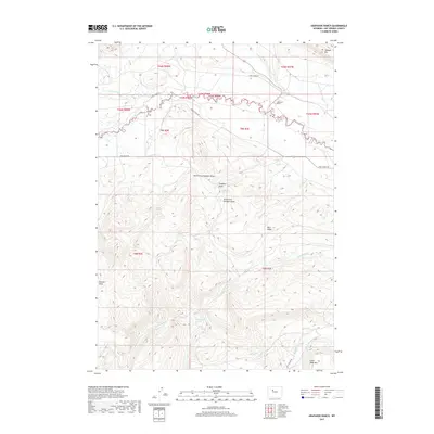
2017 Map of Arapahoe Ranch
USGS Topo · Published 2017About this map
Arapahoe Ranch serves as a central landmark in this high-desert landscape of Hot Springs County, where the intricate drainages of Owl Creek and its north and south forks define the local topography. This 2017 survey details a network of vital water sources in a dry climate, including Boghot Spring, Knight Spring, and Iron Creek Spring, which have long been essential for livestock and local habitation.
Find a feature on this map
35 named features on this map. Tap any name to fly to it.
Don’t see what you’re looking for? This feature index may not catch every label — zoom into the map to look around manually.
Map Details
Editions of this 2017 Arapahoe Ranch Map
This is the sole edition of this map. No revisions or reprints were ever made.
Other maps of this area

1913 · Grass Creek Basin
USGS Topo · 1:62,500

1914 · Blue Mesa
USGS Topo · 1:62,500

1915 · Grass Creek Basin
USGS Topo · 1:62,500

1916 · Blue Mesa
USGS Topo · 1:62,500

1952 · Kates Basin
USGS Topo · 1:24,000

1952 · Sheep Ridge
USGS Topo · 1:24,000

1955 · Thermopolis
USGS Topo · 1:250,000

1958 · Thermopolis
USGS Topo · 1:250,000

1962 · Thermopolis
USGS Topo · 1:250,000

1965 · Arapahoe Ranch
USGS Topo · 1:24,000