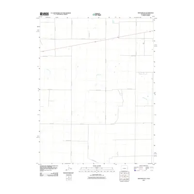
2010 Map of Arapahoe SE
USGS Topo · Published 2010About this map
Ladder Creek winds across this section of Wallace County, defining the low-lying drainage patterns of the High Plains landscape. The map captures a strictly rural environment structured by the Public Land Survey System, where a rigid grid of unpaved transit routes like County Road T and County Road S serve isolated farmsteads and agricultural tracts. This 2010 survey reflects the enduring spatial organization of Weskan Township, showing how local transport remains tied to section lines and natural watercourses. Small depressions and intermittent water features dot the terrain between County Rd 58 and County Rd 60, illustrating the subtle topography of the Kansas-Colorado borderlands.
Find a feature on this map
11 named features on this map. Tap any name to fly to it.
Don’t see what you’re looking for? This feature index may not catch every label — zoom into the map to look around manually.
Map Details
Editions of this 2010 Arapahoe SE Map
This is the sole edition of this map. No revisions or reprints were ever made.
Other maps of this area

1892 · Cheyenne Wells
USGS Topo · 1:125,000

1894 · Cheyenne Wells
USGS Topo · 1:125,000

1954 · Lamar
USGS Topo · 1:250,000

1955 · Scott City
USGS Topo · 1:250,000

1958 · Lamar
USGS Topo · 1:250,000

1958 · Scott City
USGS Topo · 1:250,000

1959 · Weskan
USGS Topo · 1:62,500

1968 · Sharon Springs 3 NW
USGS Topo · 1:24,000

1969 · Arapahoe SE
USGS Topo · 1:24,000

1969 · Cheyenne Wells 4 NE
USGS Topo · 1:24,000