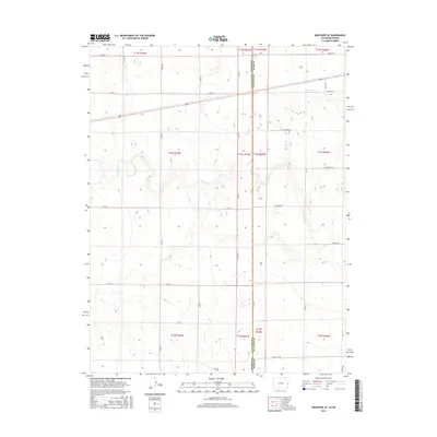
2016 Map of Arapahoe SE
USGS Topo · Published 2016About this map
The Kansas-Colorado state line serves as the central axis of this High Plains landscape, where Wallace County and Cheyenne County meet. The terrain is defined by the ephemeral drainage of Ladder Creek, which meanders across the state boundary through a sparsely populated agricultural expanse. This 2016 survey illustrates the modern persistence of the Public Land Survey System, with a rigid grid of rural corridors such as County Road 60 and Evergreen Road providing the primary infrastructure for the region's ranching and farming operations. Named local routes including Ironhorse Road and Killdeer Road crisscross the section lines, reflecting the quiet, functional character of these borderlands.
Find a feature on this map
29 named features on this map. Tap any name to fly to it.
Don’t see what you’re looking for? This feature index may not catch every label — zoom into the map to look around manually.
Map Details
Editions of this 2016 Arapahoe SE Map
This is the sole edition of this map. No revisions or reprints were ever made.
Other maps of this area

1892 · Cheyenne Wells
USGS Topo · 1:125,000

1894 · Cheyenne Wells
USGS Topo · 1:125,000

1954 · Lamar
USGS Topo · 1:250,000

1955 · Scott City
USGS Topo · 1:250,000

1958 · Lamar
USGS Topo · 1:250,000

1958 · Scott City
USGS Topo · 1:250,000

1959 · Weskan
USGS Topo · 1:62,500

1968 · Sharon Springs 3 NW
USGS Topo · 1:24,000

1969 · Arapahoe SE
USGS Topo · 1:24,000

1969 · Cheyenne Wells 4 NE
USGS Topo · 1:24,000