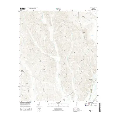
2014 Map of Ararat
USGS Topo · Published 2014About this map
The Tombigbee River forms a critical natural boundary along the southeastern edge of this terrain, marking the division between Choctaw and Clarke counties. Inland, the landscape is defined by a series of prominent ridges, including Westwing Ridge, Horne Ridge, and Wilson Ridge, which channel numerous tributaries toward the river. Small settlements and named locales like Ararat, Spring Hill, and Pleasant Hill are dispersed across these highlands, connected by a network of rural roads such as Ararat Rd and Gibson Rd. Genealogical points of interest are well-represented by several burial grounds, including Pleasant Hill Cem, Wilson Cem, and Little Cem. The topography drops sharply at the river's edge, noted by landmarks like Morgan Bluff, Bucey Bluff, and the sharp bend at Turkey Point.
Find a feature on this map
49 named features on this map. Tap any name to fly to it.
Don’t see what you’re looking for? This feature index may not catch every label — zoom into the map to look around manually.
Map Details
Editions of this 2014 Ararat Map
This is the sole edition of this map. No revisions or reprints were ever made.
Other maps of this area

1953 · Hattiesburg
USGS Topo · 1:250,000

1953 · Meridian
USGS Topo · 1:250,000

1957 · Meridian
USGS Topo · 1:250,000

1958 · Hattiesburg
USGS Topo · 1:250,000

1965 · Meridian
USGS Topo · 1:250,000

1971 · Coffeeville
USGS Topo · 1:24,000

1971 · Ararat
USGS Topo · 1:24,000

1971 · Coffeeville Lock And Dam
USGS Topo · 1:24,000

1972 · Woods Bluff
USGS Topo · 1:24,000

1974 · Silas
USGS Topo · 1:24,000