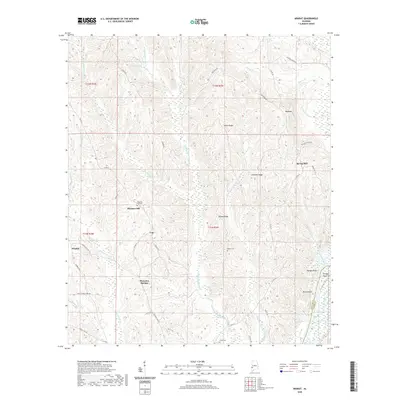
2020 Map of Ararat
USGS Topo · Published 2020About this map
Big Tallawampa Creek and its many tributaries, including Middle Tallawampa Cr and Little Tallawampa Creek, define the drainage patterns of this corner of Choctaw County. The landscape is characterized by a series of prominent ridges, such as Horne Ridge, Chatman Ridge, and Wilson Ridge, which separate the various creek valleys. Small, dispersed settlements like Ararat, Pleasant Hill, and Lou are connected by a network of rural roads that often follow these high points or lead toward the bluffs along the eastern edge of the quadrangle.
Find a feature on this map
52 named features on this map. Tap any name to fly to it.
Don’t see what you’re looking for? This feature index may not catch every label — zoom into the map to look around manually.
Map Details
Editions of this 2020 Ararat Map
This is the sole edition of this map. No revisions or reprints were ever made.
Other maps of this area

1953 · Hattiesburg
USGS Topo · 1:250,000

1953 · Meridian
USGS Topo · 1:250,000

1957 · Meridian
USGS Topo · 1:250,000

1958 · Hattiesburg
USGS Topo · 1:250,000

1965 · Meridian
USGS Topo · 1:250,000

1971 · Coffeeville
USGS Topo · 1:24,000

1971 · Ararat
USGS Topo · 1:24,000

1971 · Coffeeville Lock And Dam
USGS Topo · 1:24,000

1972 · Woods Bluff
USGS Topo · 1:24,000

1974 · Silas
USGS Topo · 1:24,000