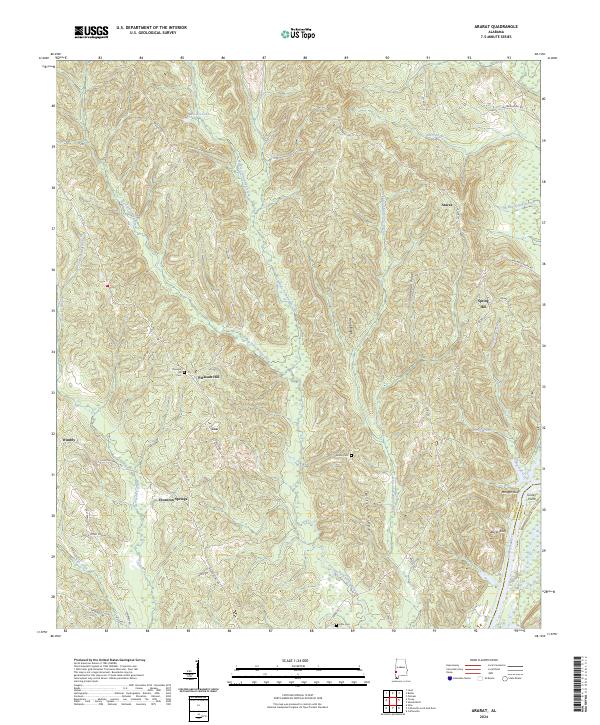
2024 Map of Ararat
USGS Topo · Published 2024About this map
The Tombigbee River forms the eastern edge of this landscape, marking the border between Choctaw Co and Clarke County at Turkey Point. The interior is defined by a dense network of tributaries including Big Tallawampa Creek and Middle Tallawampa Creek, which carve through prominent elevations such as Home Ridge and Chatman Ridge. Small settlements and named crossroads like Ararat, Spring Hill, and Thornton Springs are connected by rural routes such as Co Rd 23 and McCartys Ferry Rd.
Find a feature on this map
51 named features on this map. Tap any name to fly to it.
Don’t see what you’re looking for? This feature index may not catch every label — zoom into the map to look around manually.
Map Details
Editions of this 2024 Ararat Map
This is the sole edition of this map. No revisions or reprints were ever made.
Other maps of this area

1953 · Hattiesburg
USGS Topo · 1:250,000

1953 · Meridian
USGS Topo · 1:250,000

1957 · Meridian
USGS Topo · 1:250,000

1958 · Hattiesburg
USGS Topo · 1:250,000

1965 · Meridian
USGS Topo · 1:250,000

1971 · Coffeeville
USGS Topo · 1:24,000

1971 · Ararat
USGS Topo · 1:24,000

1971 · Coffeeville Lock And Dam
USGS Topo · 1:24,000

1972 · Woods Bluff
USGS Topo · 1:24,000

1974 · Silas
USGS Topo · 1:24,000