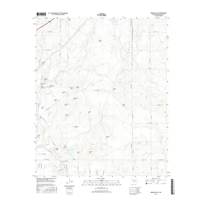
2016 Map of Arbuckle Hill
USGS Topo · Published 2016About this map
Otipoby Comanche Cem and several Apache burial sites highlight the deeply rooted tribal geography of this Comanche County landscape north of Lawton. Named for the prominent Arbuckle Hill, the terrain is defined by a dense network of ridges and watercourses, including Ninemile Beaver Cr and Wratten Cr. The southern portion of the map shows modern residential development around Lake George and Rogers Ln, while the northern and central areas are dominated by large land tracts and military reservation boundaries. Notable landmarks like Geronimo Hill and Hoyle Bridge provide specific points of reference for local historians, alongside family-named features such as Jocelyn Ridge and Austin Ridge. The map documents a significant intersection of indigenous heritage and twentieth-century infrastructure, preserved through labels like Chief Chihuahua Apache Cem and Beef Creek Apache Cem.
Find a feature on this map
77 named features on this map. Tap any name to fly to it.
Don’t see what you’re looking for? This feature index may not catch every label — zoom into the map to look around manually.
Map Details
Editions of this 2016 Arbuckle Hill Map
This is the sole edition of this map. No revisions or reprints were ever made.
Other maps of this area

1946 · Lawton
USGS Topo · 1:62,500

1949 · Arbuckle Hill
USGS Topo · 1:24,000

1949 · Cement
USGS Topo · 1:62,500

1949 · Elgin
USGS Topo · 1:24,000

1949 · Fort Sill
USGS Topo · 1:24,000

1949 · Nellie
USGS Topo · 1:62,500

1955 · Lawton
USGS Topo · 1:250,000

1956 · Sterling
USGS Topo · 1:24,000

1956 · Ninemile Creek
USGS Topo · 1:24,000

1956 · Fletcher
USGS Topo · 1:24,000
Featured Places
- Lawton, OK
- South East Corner Landing Strip, OK
- Beef Flats, Lawton
- Dempsey Bridge, Lawton
- Pig Farm Crossing, Lawton