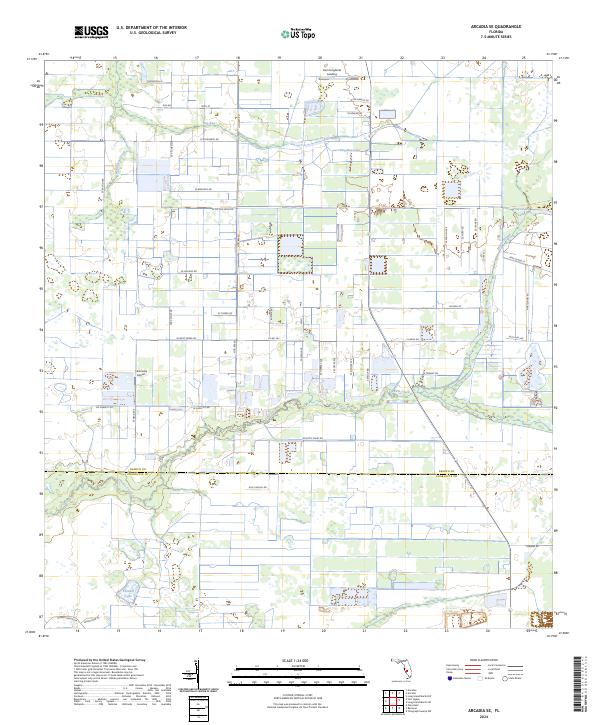
2024 Map of Arcadia SE
USGS Topo · Published 2024About this map
Prairie Creek and Myrtle Slough wind through the agricultural heart of southwestern Florida, defining a landscape shaped by drainage patterns and rural industry. In the northern reaches of the quadrangle, Hummingbirds Landing sits near the lowlands of Hog Bay and its associated Hog Bay Lake. This region is characterized by a strict grid of section lines and rural roads, including Co Rd 763 and Hog Bay Rd, which serve the various ranching and farming operations scattered across the DeSoto and Charlotte County line.
Find a feature on this map
58 named features on this map. Tap any name to fly to it.
Don’t see what you’re looking for? This feature index may not catch every label — zoom into the map to look around manually.
Map Details
Editions of this 2024 Arcadia SE Map
This is the sole edition of this map. No revisions or reprints were ever made.
Other maps of this area

1956 · Arcadia SE
USGS Topo · 1:24,000

1956 · Cleveland
USGS Topo · 1:24,000

1956 · Telegraph Swamp NW
USGS Topo · 1:24,000

1956 · Ft. Ogden
USGS Topo · 1:24,000

1956 · Nocatee
USGS Topo · 1:24,000

1956 · Long Island Marsh SW
USGS Topo · 1:24,000

1956 · Bermont
USGS Topo · 1:24,000

1956 · West Palm Beach
USGS Topo · 1:250,000

1956 · Fort Pierce
USGS Topo · 1:250,000

1957 · West Palm Beach
USGS Topo · 1:250,000