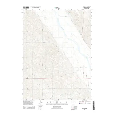
2014 Map of Arcadia SE
USGS Topo · Published 2014About this map
The Middle Loup River valley dominates this portion of Sherman County, where the landscape is defined by an extensive system of agricultural irrigation. A network of man-made waterways including Canal Number 1, Canal Number 3, and Canal Number 4 cuts across the terrain, illustrating the region's managed water resources. These canals interact with natural drainage patterns formed by Moon Cr, Cob Cr, and Cole Cr as they flow toward the primary river channel. The map reveals a strictly organized section-line road grid, including family and local identifiers such as WPA Sherman Ave and Arcadia Rd. Transportation corridors are anchored by Highway 92 and Highway 58, which facilitate movement between the upland pastures and the fertile river valley bottoms.
Find a feature on this map
27 named features on this map. Tap any name to fly to it.
Don’t see what you’re looking for? This feature index may not catch every label — zoom into the map to look around manually.
Map Details
Editions of this 2014 Arcadia SE Map
This is the sole edition of this map. No revisions or reprints were ever made.
Other maps of this area

1899 · Loup
USGS Topo · 1:125,000

1951 · Arcadia SE
USGS Topo · 1:24,000

1951 · Litchfield NE
USGS Topo · 1:24,000

1951 · Arcadia West
USGS Topo · 1:24,000

1951 · Arcadia East
USGS Topo · 1:24,000

1951 · Arcadia SW
USGS Topo · 1:24,000

1951 · Litchfield
USGS Topo · 1:24,000

1953 · Loup City NW
USGS Topo · 1:24,000

1953 · Ravenna NW
USGS Topo · 1:24,000

1953 · Loup City
USGS Topo · 1:24,000