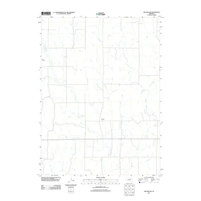
2011 Map of Arcadia SW
USGS Topo · Published 2011About this map
Lone Elm Cemetery sits in the central-southern portion of this landscape, serving as a primary cultural landmark in a region defined by its drainage systems. The terrain is marked by the winding course of Clear Creek, which carves through the western and central sections, while Cole Creek flows toward the eastern border. These waterways dictate the local geography, carving out features like Ash Canyon in the northwest. This 2011 survey by the U.S. Geological Survey illustrates a traditional Nebraska rural layout, where section lines and local roads follow a rigid grid, occasionally diverted by the natural incisions of the creeks and canyons that break the prairie surface.
Find a feature on this map
4 named features on this map. Tap any name to fly to it.
Don’t see what you’re looking for? This feature index may not catch every label — zoom into the map to look around manually.
Map Details
Editions of this 2011 Arcadia SW Map
This is the sole edition of this map. No revisions or reprints were ever made.
Other maps of this area

1951 · Ansley NE
USGS Topo · 1:24,000

1951 · Arcadia SE
USGS Topo · 1:24,000

1951 · Litchfield NE
USGS Topo · 1:24,000

1951 · Arcadia West
USGS Topo · 1:24,000

1951 · Arcadia East
USGS Topo · 1:24,000

1951 · Mason City
USGS Topo · 1:24,000

1951 · Ansley SE
USGS Topo · 1:24,000

1951 · Arcadia SW
USGS Topo · 1:24,000

1951 · Litchfield
USGS Topo · 1:24,000

1955 · Broken Bow
USGS Topo · 1:250,000