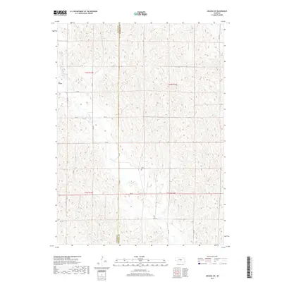
2017 Map of Arcadia SW
USGS Topo · Published 2017About this map
The divide between Custer and Sherman counties defines this rural Nebraska landscape, where the rolling tablelands are deeply incised by the drainage basins of Clear Creek and Cole Creek. This map reveals a late 20th-century development of the region's section-line road system, including routes like 790 Road and Road 461 that stitch together the vast agricultural tracts of the Central Plains.
Find a feature on this map
24 named features on this map. Tap any name to fly to it.
Don’t see what you’re looking for? This feature index may not catch every label — zoom into the map to look around manually.
Map Details
Editions of this 2017 Arcadia SW Map
This is the sole edition of this map. No revisions or reprints were ever made.
Other maps of this area

1951 · Ansley NE
USGS Topo · 1:24,000

1951 · Arcadia SE
USGS Topo · 1:24,000

1951 · Litchfield NE
USGS Topo · 1:24,000

1951 · Arcadia West
USGS Topo · 1:24,000

1951 · Arcadia East
USGS Topo · 1:24,000

1951 · Mason City
USGS Topo · 1:24,000

1951 · Ansley SE
USGS Topo · 1:24,000

1951 · Arcadia SW
USGS Topo · 1:24,000

1951 · Litchfield
USGS Topo · 1:24,000

1955 · Broken Bow
USGS Topo · 1:250,000