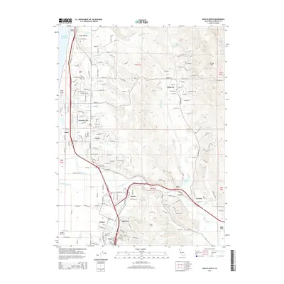
2015 Map of Arcata North
USGS Topo · Published 2015About this map
The Mad River cuts a wide path through this coastal landscape, flowing past the flat drainage of the Arcata Bottoms and empty marshlands of McDaniel Slough. This region exhibits the clear evolution of Humboldt County's infrastructure, from the early 21st-century aviation operations at the Arcata Airport to the established residential grids of McKinleyville and Arcata. Genealogists and local historians will find significant detail in the southern portion of the map, which includes the Greenwood Cemetery and Saint Marys Cemetery.
Find a feature on this map
214 named features on this map. Tap any name to fly to it.
Don’t see what you’re looking for? This feature index may not catch every label — zoom into the map to look around manually.
Map Details
Editions of this 2015 Arcata North Map
This is the sole edition of this map. No revisions or reprints were ever made.
Other maps of this area

1922 · Eureka
USGS Topo · 1:62,500

1922 · Korbel
USGS Topo · 1:62,500

1925 · Hoopa
USGS Topo · 1:125,000

1933 · Eureka
USGS Topo · 1:48,000

1942 · Eureka
USGS Topo · 1:62,500

1945 · Trinidad
USGS Topo · 1:62,500

1945 · Coyote Peak
USGS Topo · 1:62,500

1945 · Blue Lake
USGS Topo · 1:62,500

1948 · Weed
USGS Topo · 1:250,000

1949 · Eureka
USGS Topo · 1:250,000