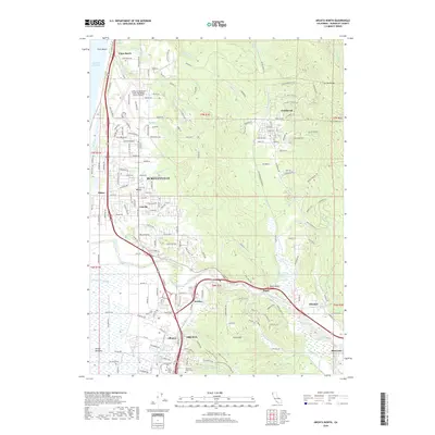
2018 Map of Arcata North
USGS Topo · Published 2018About this map
Arcata and the surrounding Humboldt County coastal plain are defined here by the winding course of the Mad River, which snakes through the Arcata Bottoms toward the Pacific Ocean. The landscape transitions from the dense urban footprint of Humboldt State University and the city center to the sprawling suburban development of McKinleyville. Inland, the terrain rises sharply toward Fickle Hill and Tip Top Ridge, where a network of logging and rural roads serves smaller settlements like Fieldbrook and Glendale. The transportation infrastructure is central to the area's layout, featuring the Northwestern Pacific Railroad corridor and the California Redwood Coast-Humboldt County Airport. Genealogists may find value in the locations of Greenwood Cemetery and Saint Marys Cemetery, while the presence of Essex Gulch and Mad River Slough illustrates the complex hydrology that historically shaped local industry and agriculture.
Find a feature on this map
131 named features on this map. Tap any name to fly to it.
Don’t see what you’re looking for? This feature index may not catch every label — zoom into the map to look around manually.
Map Details
Editions of this 2018 Arcata North Map
This is the sole edition of this map. No revisions or reprints were ever made.
Other maps of this area

1922 · Eureka
USGS Topo · 1:62,500

1922 · Korbel
USGS Topo · 1:62,500

1925 · Hoopa
USGS Topo · 1:125,000

1933 · Eureka
USGS Topo · 1:48,000

1942 · Eureka
USGS Topo · 1:62,500

1945 · Trinidad
USGS Topo · 1:62,500

1945 · Coyote Peak
USGS Topo · 1:62,500

1945 · Blue Lake
USGS Topo · 1:62,500

1948 · Weed
USGS Topo · 1:250,000

1949 · Eureka
USGS Topo · 1:250,000