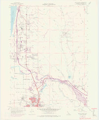
1952 Map of Arcata North
USGS Topo · Published 1974About this map
Mad River flows toward the Pacific coast, carving through a landscape defined by timber, education, and early coastal transit. The northern reaches of the city of Arcata are visible, dominated by the campus of Humboldt State University and the northern terminus of the Northwestern Pacific Railroad. Industry is concentrated near the river, where the Arcata and Mad River Railroad serves local interests including a prominent Lumber Mill.
Find a feature on this map
68 named features on this map. Tap any name to fly to it.
Don’t see what you’re looking for? This feature index may not catch every label — zoom into the map to look around manually.
Map Details
Editions of this 1952 Arcata North Map
This is the sole edition of this map. No revisions or reprints were ever made.
Other maps of this area

1922 · Eureka
USGS Topo · 1:62,500

1922 · Korbel
USGS Topo · 1:62,500

1925 · Hoopa
USGS Topo · 1:125,000

1933 · Eureka
USGS Topo · 1:48,000

1942 · Eureka
USGS Topo · 1:62,500

1945 · Trinidad
USGS Topo · 1:62,500

1945 · Coyote Peak
USGS Topo · 1:62,500

1945 · Blue Lake
USGS Topo · 1:62,500

1948 · Weed
USGS Topo · 1:250,000

1949 · Eureka
USGS Topo · 1:250,000