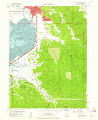
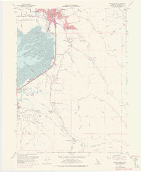
1959 Map of Arcata South
USGS Topo · Published 1961About this map
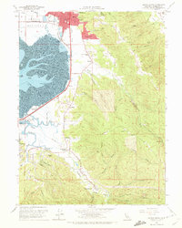
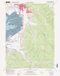
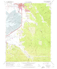
Humboldt State College anchors the northern edge of this coastal landscape, looking out over the tidal flats of Arcata Bay. The mid-century geography is defined by the transition from the built-up streets of Arcata and Eureka to the timbered slopes of Fickle Hill. Between these centers, the Northwestern Pacific railroad tracks hug the shoreline, connecting small industrial and transit points like Brainard and Bracut.
Find a feature on this map
64 named features on this map. Tap any name to fly to it.
Don’t see what you’re looking for? This feature index may not catch every label — zoom into the map to look around manually.
Map Details
Editions of this 1959 Arcata South Map
5 editions found
Other maps of this area

1922 · Eureka
USGS Topo · 1:62,500

1922 · Korbel
USGS Topo · 1:62,500

1922 · Kneeland
USGS Topo · 1:62,500

1933 · Eureka
USGS Topo · 1:48,000

1942 · Eureka
USGS Topo · 1:62,500

1944 · Fortuna
USGS Topo · 1:62,500

1945 · Blue Lake
USGS Topo · 1:62,500

1949 · Eureka
USGS Topo · 1:250,000

1950 · Iaqua Buttes
USGS Topo · 1:62,500

1951 · Eureka
USGS Topo · 1:62,500