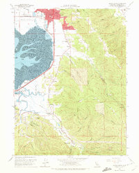
1959 Map of Arcata South
USGS Topo · Published 1972About this map
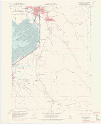
Arcata and its southern surroundings are defined by the transition from the tidal flats of Arcata Bay to the steep timbered ridges of Fickle Hill. In the late 1950s, the region was characterized by a mix of emerging suburban residential areas like Sunny Brae and established coastal industries linked by the Northwestern Pacific railroad. To the south, the intricate network of tidal sloughs—including Freshwater Slough, Fay Slough, and Ryan Slough—meanders through the Arcata Bottoms, providing a sharp contrast to the upland drainages of Jacoby Creek and Freshwater Creek. Local landmarks like Humboldt State College and Trinity Hosp anchor the urban grid of Arcata, while the rural interior is dotted with community centers such as Jacoby Creek Sch and the Garfield School. This map captures the coastal landscape before the expansion of modern infrastructure, showing old Quarry sites and a Drive-in Theater along the Pacific Highway.
Find a feature on this map
67 named features on this map. Tap any name to fly to it.
Don’t see what you’re looking for? This feature index may not catch every label — zoom into the map to look around manually.
Map Details
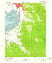
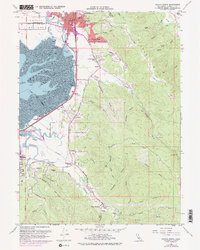
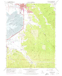
Editions of this 1959 Arcata South Map
5 editions found
Other maps of this area

1922 · Eureka
USGS Topo · 1:62,500

1922 · Korbel
USGS Topo · 1:62,500

1922 · Kneeland
USGS Topo · 1:62,500

1933 · Eureka
USGS Topo · 1:48,000

1942 · Eureka
USGS Topo · 1:62,500

1944 · Fortuna
USGS Topo · 1:62,500

1945 · Blue Lake
USGS Topo · 1:62,500

1949 · Eureka
USGS Topo · 1:250,000

1950 · Iaqua Buttes
USGS Topo · 1:62,500

1951 · Eureka
USGS Topo · 1:62,500