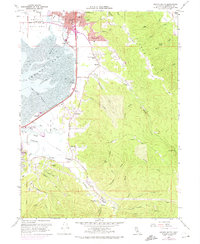
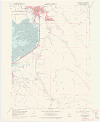
1959 Map of Arcata South
USGS Topo · Published 1974About this map
Humboldt State University anchors the north end of this coastal landscape where the timber-and-transit history of Northern California meets the Pacific. The Northwestern Pacific railroad corridor skirts the edge of Arcata Bay, passing through the Arcata Bottoms and the settlement of Brainard. This survey documents the interface between the tidal flats of Humboldt Bay and the rising timberland of Fickle Hill, where numerous quarries and gulches like Rocky Gulch and Morrison Gulch suggest an economy tied to the land. Inland, rural life is marked by the Jacoby Creek Sch and Garfield School, while the developing suburbs of Sunny Brae and Indianola begin to fill the space between the marshes and the foothills. The presence of the Radio Tower (KENL) and the Eureka Airport signals the region's mid-century modernization as it expanded beyond its traditional logging and maritime roots.
Find a feature on this map
66 named features on this map. Tap any name to fly to it.
Don’t see what you’re looking for? This feature index may not catch every label — zoom into the map to look around manually.
Map Details
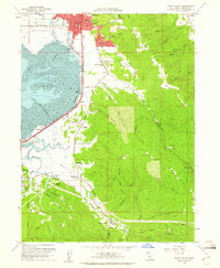
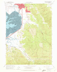
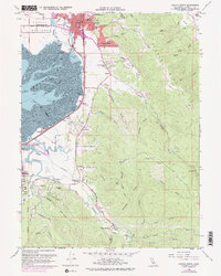
Editions of this 1959 Arcata South Map
5 editions found
Other maps of this area

1922 · Eureka
USGS Topo · 1:62,500

1922 · Korbel
USGS Topo · 1:62,500

1922 · Kneeland
USGS Topo · 1:62,500

1933 · Eureka
USGS Topo · 1:48,000

1942 · Eureka
USGS Topo · 1:62,500

1944 · Fortuna
USGS Topo · 1:62,500

1945 · Blue Lake
USGS Topo · 1:62,500

1949 · Eureka
USGS Topo · 1:250,000

1950 · Iaqua Buttes
USGS Topo · 1:62,500

1951 · Eureka
USGS Topo · 1:62,500