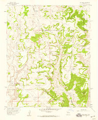
1957 Map of Arch Mesa
USGS Topo · Published 1959About this map
The Canoncito Navajo Indian Reservation and the Laguna Indian Reservation meet in this high-altitude landscape, where the land is deeply carved by intermittent drainages. In the late 1950s, this area remained largely undeveloped, characterized by massive landforms like Arch Mesa and Herrera Mesa. The terrain is defined by its drainages, including Canada de los Apaches and Arroyo Piedra Lumbre, which cut through the Paguate Purchase Grant. Numerous Ruins are scattered across the mesas and within the canyons, suggesting a long history of human presence in this arid environment.
Find a feature on this map
22 named features on this map. Tap any name to fly to it.
Don’t see what you’re looking for? This feature index may not catch every label — zoom into the map to look around manually.
Map Details
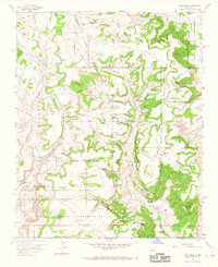
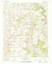
Editions of this 1957 Arch Mesa Map
Other maps of this area

1883 · Mt. Taylor
USGS Topo · 1:250,000

1886 · Mt. Taylor
USGS Topo · 1:250,000

1892 · Mt. Taylor
USGS Topo · 1:250,000

1899 · Mt. Taylor
USGS Topo · 1:250,000

1954 · Herrera
USGS Topo · 1:24,000

1954 · Canoncito School
USGS Topo · 1:24,000
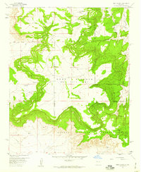
1957 · Mesa Gigante
USGS Topo · 1:24,000

1957 · Moquino
USGS Topo · 1:24,000

1957 · Mesita
USGS Topo · 1:24,000

1958 · Albuquerque
USGS Topo · 1:250,000