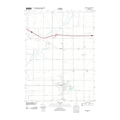
2010 Map of Archbold
USGS Topo · Published 2010About this map
The village of Archbold anchors this 2010 survey of Fulton County, showing a well-established grid of rural section roads and small communities. The agricultural landscape is defined by the winding course of the Tiffin River and its many tributaries, including Clear Creek, Bates Creek, and Grass Run. For genealogists and local historians, the map is particularly detailed in its placement of family and community burial grounds, such as the Johnson Cemetery, Lauber Hill Cemetery, and the Rupp Cemetery. The village center of Archbold includes the Archbold Post Office and proximity to the Archbold Reservoir Number Two. Further north, the smaller settlements of Elmira and Burlington are located at the intersection of County Road J and State Route 66, reflecting the traditional crossroads development of the region.
Find a feature on this map
44 named features on this map. Tap any name to fly to it.
Don’t see what you’re looking for? This feature index may not catch every label — zoom into the map to look around manually.
Map Details
Editions of this 2010 Archbold Map
This is the sole edition of this map. No revisions or reprints were ever made.
Other maps of this area

1907 · Defiance
USGS Topo · 1:62,500

1908 · Napoleon
USGS Topo · 1:62,500

1909 · Defiance
USGS Topo · 1:62,500

1911 · Wauseon
USGS Topo · 1:62,500

1913 · Wauseon
USGS Topo · 1:62,500

1913 · Alvordton
USGS Topo · 1:62,500

1943 · Wauseon
USGS Topo · 1:62,500

1944 · Alvordton
USGS Topo · 1:62,500

1953 · Fort Wayne
USGS Topo · 1:250,000

1956 · Fort Wayne
USGS Topo · 1:250,000