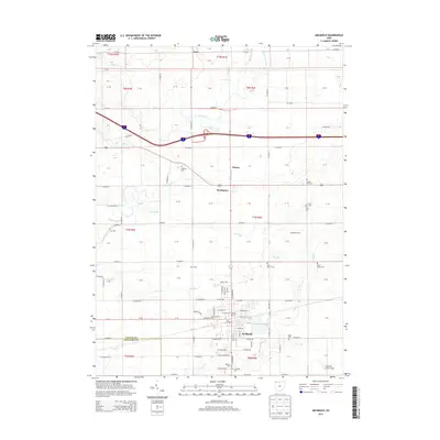
2013 Map of Archbold
USGS Topo · Published 2013About this map
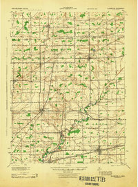
Archbold anchors this portion of Fulton County, where the urban grid of Stryker Street and N Defiance St meets a wide agricultural landscape. This survey documents the persistent rural character of Northwest Ohio, punctuated by significant family-named landmarks like Beck Dairy and Waldelch Farm. Waterways such as the Tiffin River, Clear Creek, and Bean Creek dictate the topography of the land, while a dense network of county roads like Co Road J and Co Highway D connects small settlements like Elmira and Burlington. For genealogists, the map is remarkably dense with burial sites, including Lauber Hill Cemetery, Saint Peters Cemetery, and the Reform Cemetery, providing a spatial record of local family legacies and church parishes across the township divisions.
Find a feature on this map
128 named features on this map. Tap any name to fly to it.
Don’t see what you’re looking for? This feature index may not catch every label — zoom into the map to look around manually.
Map Details
Editions of this 2013 Archbold Map
This is the sole edition of this map. No revisions or reprints were ever made.
Other maps of this area
1907 · Defiance
USGS Topo · 1:62,500
1908 · Napoleon
USGS Topo · 1:62,500
1909 · Defiance
USGS Topo · 1:62,500
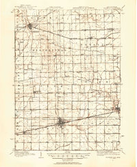
1911 · Wauseon
USGS Topo · 1:62,500
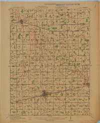
1913 · Wauseon
USGS Topo · 1:62,500
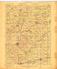
1913 · Alvordton
USGS Topo · 1:62,500
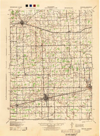
1943 · Wauseon
USGS Topo · 1:62,500
1944 · Alvordton
USGS Topo · 1:62,500

1953 · Fort Wayne
USGS Topo · 1:250,000

1956 · Fort Wayne
USGS Topo · 1:250,000