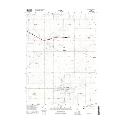
2016 Map of Archbold
USGS Topo · Published 2016About this map
The Tiffin River and its meandering tributaries, including Grass Run and Flat Run, define the agricultural landscape of western Fulton County. Centered on the village of Archbold, this survey documents a dense network of township roads and county lines, such as Co RD D and Co RD H, which partition the productive farmland. The area is dotted with numerous small family and community burial grounds, including Johnson Cem, Beck Cem, and the Saint Peters Cem, which serve as vital markers for local genealogical research.
Find a feature on this map
65 named features on this map. Tap any name to fly to it.
Don’t see what you’re looking for? This feature index may not catch every label — zoom into the map to look around manually.
Map Details
Editions of this 2016 Archbold Map
This is the sole edition of this map. No revisions or reprints were ever made.
Other maps of this area

1907 · Defiance
USGS Topo · 1:62,500

1908 · Napoleon
USGS Topo · 1:62,500

1909 · Defiance
USGS Topo · 1:62,500

1911 · Wauseon
USGS Topo · 1:62,500

1913 · Wauseon
USGS Topo · 1:62,500

1913 · Alvordton
USGS Topo · 1:62,500

1943 · Wauseon
USGS Topo · 1:62,500

1944 · Alvordton
USGS Topo · 1:62,500

1953 · Fort Wayne
USGS Topo · 1:250,000

1956 · Fort Wayne
USGS Topo · 1:250,000