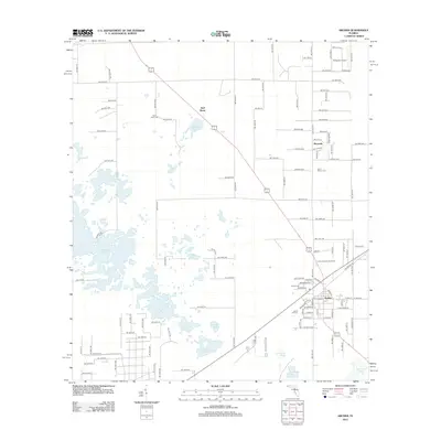
2012 Map of Archer
USGS Topo · Published 2012About this map
Archer serves as the focal point of this North Central Florida landscape, where the intersection of regional thoroughfares and established rail lines anchors the community. The town is flanked by a significant concentration of local heritage sites, including the Shiloh Cem and Laurel Hill Cem. Northward along the highway, the smaller settlements of Pinesville and Half Moon sit amidst a distinctive karst topography. This terrain is defined by a vast network of ephemeral water bodies and sinkhole ponds, such as Watermelon Pond, Horseshoe Pond, and Half Moon Pond. These features illustrate the area's porous limestone geology, which historically dictated the patterns of agriculture and timber management. The presence of the Archer Forestry Site Tower highlights the ongoing importance of the surrounding pine lands, while the distribution of family and community cemeteries like Saint Mark Cem provides essential spatial data for genealogical research into the rural populations of Alachua County.
Find a feature on this map
107 named features on this map. Tap any name to fly to it.
Don’t see what you’re looking for? This feature index may not catch every label — zoom into the map to look around manually.
Map Details
Editions of this 2012 Archer Map
This is the sole edition of this map. No revisions or reprints were ever made.
Other maps of this area

1890 · Arredondo
USGS Topo · 1:62,500

1892 · Arredondo
USGS Topo · 1:62,500

1894 · Arredondo
USGS Topo · 1:62,500

1895 · Williston
USGS Topo · 1:62,500

1954 · Bronson
USGS Topo · 1:24,000

1954 · Gainesville
USGS Topo · 1:250,000

1955 · Bronson NE
USGS Topo · 1:24,000

1958 · Gainesville
USGS Topo · 1:250,000

1959 · Gainesville
USGS Topo · 1:250,000

1966 · Gainesville West
USGS Topo · 1:24,000