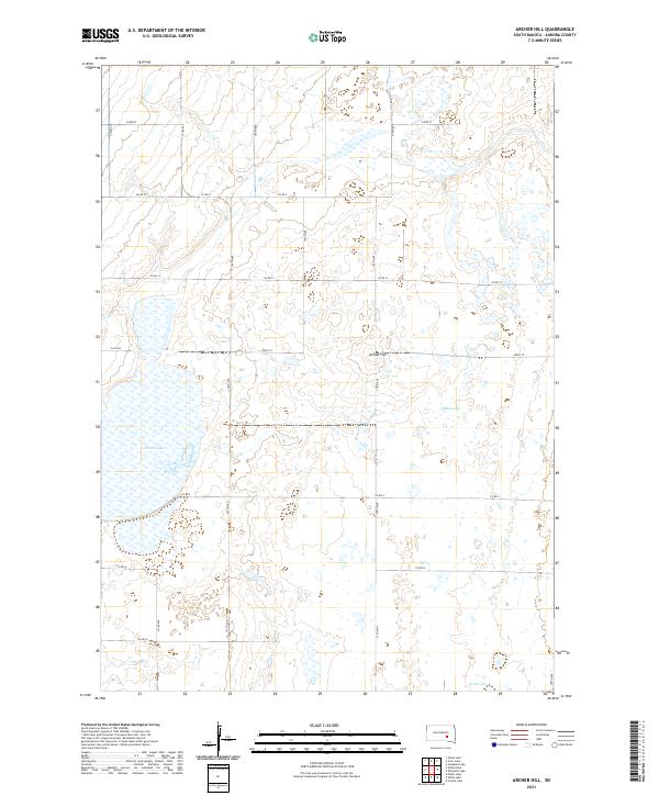
2021 Map of Archer Hill
USGS Topo · Published 2021About this map
Archer Hill rises as a distinct elevation above the low-lying wetlands and prairie of Aurora County, characterizing the glacial landscape of this South Dakota region. The western edge of the map is dominated by the expansive White Lake, while the eastern terrain features intermittent water bodies such as Wilkie Slough and Scott Lake to the south. This environment is defined by its drainage patterns and a strictly organized section line road network, including routes like Co Rd 12 and Co Rd 9, which delineate the agricultural grid.
Find a feature on this map
19 named features on this map. Tap any name to fly to it.
Don’t see what you’re looking for? This feature index may not catch every label — zoom into the map to look around manually.
Map Details
Editions of this 2021 Archer Hill Map
This is the sole edition of this map. No revisions or reprints were ever made.
Historical Maps of Patten Township Through Time
10 maps found
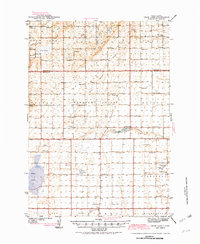
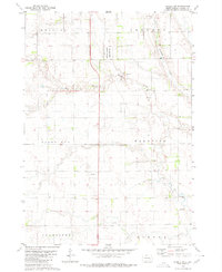
1942 Crow Lake
Aurora County, SD
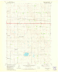
1979 Crystal Lake
Aurora County, SD
1979 Laffey Lake
Aurora County, SD
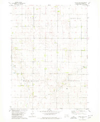
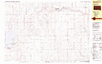
1979 Storla SW
Aurora County, SD
1982 Wilmarth Lake
Aurora County, SD
2021 Archer Hill
Aurora County, SD
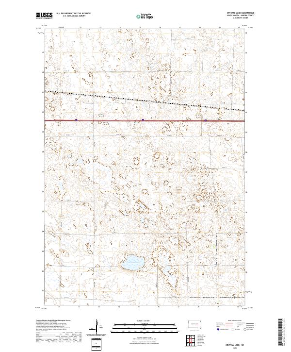
2021 Crystal Lake
Aurora County, SD
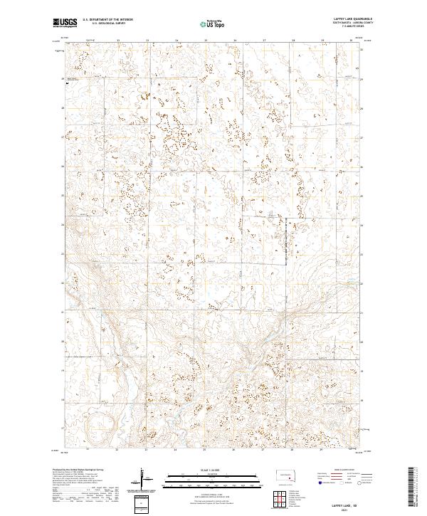
2021 Laffey Lake
Aurora County, SD
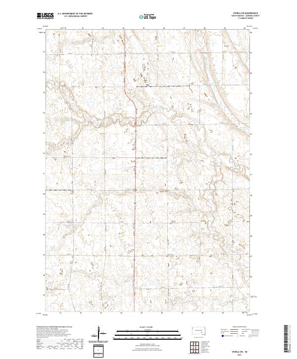
2021 Storla SW
Aurora County, SD
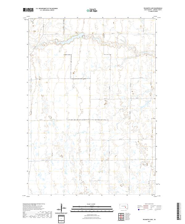
2021 Wilmarth Lake
Aurora County, SD
Featured Locations
- Cooper Township, SD
- Eureka Township, SD
- Patten Township, SD
- White Lake Township, SD
- Pleasant Valley Township, SD