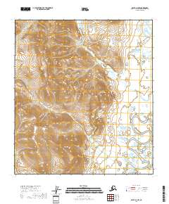
2018 Map of Arctic A-3 NW
USGS Topo · Published 2018About this map
The East Fork Chandalar River flows through the southeastern portion of this terrain, where modern infrastructure meets the vast wilderness of the Yukon-Koyukuk Census Area. A small network of named roads, including Main St, Airport St, and Mountain Street, indicates a localized center of activity near the riverbank. This area is defined by its significant relief, with prominent peaks such as Coal Mtn, Under Cloud Mtn, and Paddle Mtn rising above the drainage systems. The landscape is further shaped by Deadman Creek and its various branches, which cut through the high ground south of Dhahedse Ridge. The presence of the Junjik River in the northeast corner further illustrates the complex hydrological network that defines this portion of the Arctic frontier.
Find a feature on this map
17 named features on this map. Tap any name to fly to it.
Don’t see what you’re looking for? This feature index may not catch every label — zoom into the map to look around manually.
Map Details
Editions of this 2018 Arctic A-3 NW Map
This is the sole edition of this map. No revisions or reprints were ever made.
Other maps of this area

1951 · Arctic
USGS Topo · 1:250,000

1956 · Arctic
USGS Topo · 1:250,000

1972 · Arctic A-3
USGS Topo · 1:63,360
1972 · Arctic A-4
USGS Topo · 1:63,360
1983 · Arctic B-4
USGS Topo · 1:63,360

1983 · Arctic B-3
USGS Topo · 1:63,360
2018 · Arctic A-3 SE
USGS Topo · 1:25,000
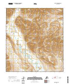
2018 · Arctic A-4 NE
USGS Topo · 1:25,000
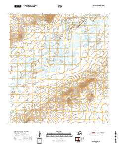
2018 · Arctic A-3 SW
USGS Topo · 1:25,000
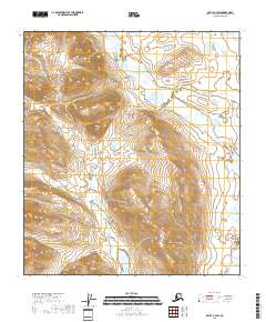
2018 · Arctic B-3 SW
USGS Topo · 1:25,000