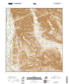
2018 Map of Arctic A-5 NW
USGS Topo · Published 2018About this map
The high-elevation landscape of the Smoke Creek drainage dominates this 2018 survey within the North Slope Borough. Located in the northern reaches of the Brooks Range, the terrain is defined by extreme relief and steep drainage basins. Smoke Creek meanders along the western edge of the quadrangle, serving as the primary hydrologic feature for the surrounding mountainous slopes. The map traces the public land survey system through the intersections of Township 14 South, Range 22 East and Township 15 South, Range 23 East, providing a precise record of these remote Alaskan boundaries during the early twenty-first century.
Find a feature on this map
6 named features on this map. Tap any name to fly to it.
Don’t see what you’re looking for? This feature index may not catch every label — zoom into the map to look around manually.
Map Details
Editions of this 2018 Arctic A-5 NW Map
This is the sole edition of this map. No revisions or reprints were ever made.
Other maps of this area

1951 · Brooks
USGS Topo · 1:250,000

1951 · Arctic
USGS Topo · 1:250,000

1956 · Arctic
USGS Topo · 1:250,000

1956 · Philip Smith Mountains
USGS Topo · 1:250,000

1964 · Philip Smith Mountains
USGS Topo · 1:250,000
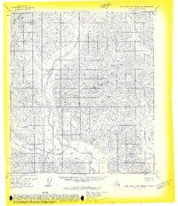
1971 · Philip Smith Mountains B-1
USGS Topo · 1:63,360
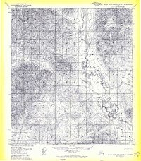
1971 · Philip Smith Mountains A-1
USGS Topo · 1:63,360
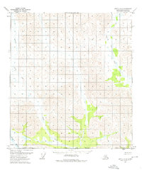
1972 · Arctic A-5
USGS Topo · 1:63,360
1981 · Arctic B-5
USGS Topo · 1:63,360
2017 · Philip Smith Mountains B-1 SE
USGS Topo · 1:25,000