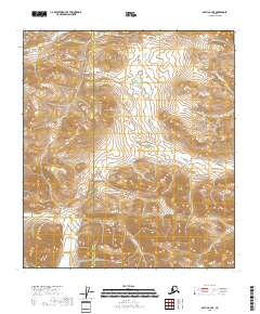
2018 Map of Arctic B-4 SE
USGS Topo · Published 2018About this map
Misty Mtn stands as a prominent high point in this remote Alaskan landscape, marking the interior terrain along the southern boundary of the North Slope Borough Yukon-Koyukuk Census Area line. The topography is defined by the headwaters of Deadman Cr, which drains the northeastern corner of the quadrangle. This 2018 survey documents the vast, uninhabited stretch of the Alaskan interior where surveying boundaries like t13s r26e and t14s r27e delineate the land in a region devoid of roads or settlements. The map captures the raw elevation data of the Brooks Range foothills, providing a precise look at the drainage patterns and peaks that define this northern wilderness.
Find a feature on this map
9 named features on this map. Tap any name to fly to it.
Don’t see what you’re looking for? This feature index may not catch every label — zoom into the map to look around manually.
Map Details
Editions of this 2018 Arctic B-4 SE Map
This is the sole edition of this map. No revisions or reprints were ever made.
Other maps of this area

1951 · Arctic
USGS Topo · 1:250,000

1956 · Arctic
USGS Topo · 1:250,000

1972 · Arctic A-3
USGS Topo · 1:63,360
1972 · Arctic A-4
USGS Topo · 1:63,360
1983 · Arctic B-4
USGS Topo · 1:63,360

1983 · Arctic B-3
USGS Topo · 1:63,360
2018 · Arctic A-4 NW
USGS Topo · 1:25,000
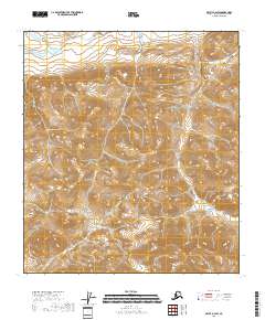
2018 · Arctic B-4 SW
USGS Topo · 1:25,000
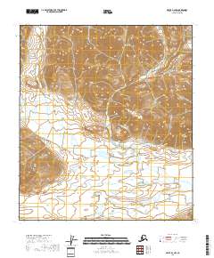
2018 · Arctic B-4 NW
USGS Topo · 1:25,000
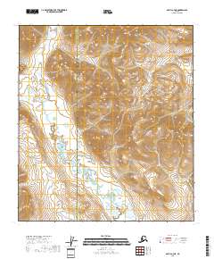
2018 · Arctic A-4 NE
USGS Topo · 1:25,000