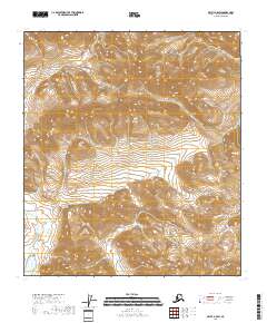
2018 Map of Arctic B-5 SW
USGS Topo · Published 2018About this map
Smoke Creek and Crow Nest Creek are the defining watercourses of this Arctic landscape within the North Slope Borough. This 2018 survey reveals a terrain dominated by elevation contours and public land divisions, specifically portions of t12s r22e, t13s r23e, and surrounding townships. The lack of named settlements or infrastructure highlights the isolation of this region of the Brooks Range foothills, where the environment remains largely unchanged by human development. Researchers of Alaskan geography will find a clear record of the watershed patterns that shape this subarctic wilderness, from the high ridges down to the creek beds.
Find a feature on this map
8 named features on this map. Tap any name to fly to it.
Don’t see what you’re looking for? This feature index may not catch every label — zoom into the map to look around manually.
Map Details
Editions of this 2018 Arctic B-5 SW Map
This is the sole edition of this map. No revisions or reprints were ever made.
Other maps of this area

1951 · Brooks
USGS Topo · 1:250,000

1951 · Arctic
USGS Topo · 1:250,000

1956 · Arctic
USGS Topo · 1:250,000

1956 · Philip Smith Mountains
USGS Topo · 1:250,000

1964 · Philip Smith Mountains
USGS Topo · 1:250,000
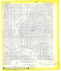
1971 · Philip Smith Mountains B-1
USGS Topo · 1:63,360
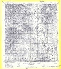
1971 · Philip Smith Mountains A-1
USGS Topo · 1:63,360
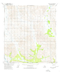
1972 · Arctic A-5
USGS Topo · 1:63,360
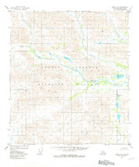
1981 · Arctic B-5
USGS Topo · 1:63,360
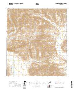
2017 · Philip Smith Mountains B-1 SE
USGS Topo · 1:25,000