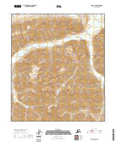
2018 Map of Arctic C-4 NW
USGS Topo · Published 2018About this map
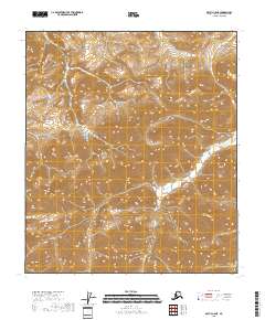
Marsh Fork winds through this high-latitude terrain of the North Slope, serving as the central drainage for the deeply etched valleys shown in this 2018 survey. The landscape is defined by its dramatic relief and the absence of human settlements, reflecting the wilderness character of northern Alaska. Precise contour lines from the National Elevation Dataset reveal the complex topography where the Marsh Fork makes its descent. Surveyed sections under the Public Land Survey System, including t8s r24e and t8s r25e, provide a mathematical grid over the natural drainage basins, highlighting the intersection of modern cartographic standards with the traditional North Slope wilderness.
Find a feature on this map
6 named features on this map. Tap any name to fly to it.
Don’t see what you’re looking for? This feature index may not catch every label — zoom into the map to look around manually.
Map Details
Editions of this 2018 Arctic C-4 NW Map
This is the sole edition of this map. No revisions or reprints were ever made.
Other maps of this area

1951 · Arctic
USGS Topo · 1:250,000

1956 · Arctic
USGS Topo · 1:250,000
1971 · Arctic D-5
USGS Topo · 1:63,360
1971 · Arctic C-5
USGS Topo · 1:63,360
1983 · Arctic D-4
USGS Topo · 1:63,360
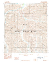
1983 · Arctic C-4
USGS Topo · 1:63,360
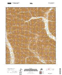
2018 · Arctic C-4 SW
USGS Topo · 1:25,000
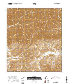
2018 · Arctic D-5 SE
USGS Topo · 1:25,000
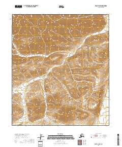
2018 · Arctic D-4 SW
USGS Topo · 1:25,000
2018 · Arctic C-5 NE
USGS Topo · 1:25,000