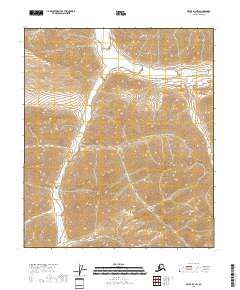
2018 Map of Arctic D-3 NW
USGS Topo · Published 2018About this map
Canning River carves a wide path through this remote portion of the North Slope, serving as the dominant geographic feature in an otherwise high-altitude wilderness. The 2018 survey illustrates the complex braided drainage patterns of the river valley as it moves between the townships of t5s r27e and t5s r28e. The surrounding terrain is defined by steep elevation changes, with mountain ridges rising sharply from the riverbanks. This topographic study emphasizes the physical isolation of the Brooks Range foothills, where the absence of roads or permanent settlements highlights the area's role as a pristine Arctic corridor. The transition between t6s r27e and t6s r28e reveals the intricate watershed of the eastern North Slope, where seasonal meltwater feeds into the primary river channel.
Find a feature on this map
5 named features on this map. Tap any name to fly to it.
Don’t see what you’re looking for? This feature index may not catch every label — zoom into the map to look around manually.
Map Details
Editions of this 2018 Arctic D-3 NW Map
This is the sole edition of this map. No revisions or reprints were ever made.
Other maps of this area

1951 · Arctic
USGS Topo · 1:250,000

1951 · Mt. Michelson
USGS Topo · 1:250,000

1956 · Arctic
USGS Topo · 1:250,000

1956 · Mt. Michelson
USGS Topo · 1:250,000

1983 · Mount Michelson A-3
USGS Topo · 1:63,360
1983 · Mount Michelson A-4
USGS Topo · 1:63,360
1983 · Arctic D-4
USGS Topo · 1:63,360
1983 · Arctic D-3
USGS Topo · 1:63,360
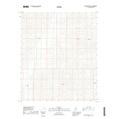
2018 · Mount Michelson A-4 SE
USGS Topo · 1:25,000
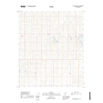
2018 · Mount Michelson A-3 SE
USGS Topo · 1:25,000