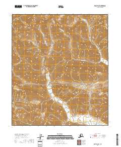
2018 Map of Arctic D-3 SE
USGS Topo · Published 2018About this map
Cane Creek and its smaller tributaries, such as Red Sheep Creek, define the topography of this high-latitude terrain within the North Slope. The landscape is marked by the sharp relief of steep ridges and deep valleys, organized here by the rectilinear grid of township and range boundaries including t7s r28e and t7s r29e. This 2018 survey by the U.S. Geological Survey captures the area's drainage patterns and elevations with precision, showing how Cane Cr winds through the southern reaches of the quadrangle. The lack of named settlements or man-made infrastructure emphasizes the wilderness character of this Brooks Range interior, where geographical features are the primary landmarks for navigation and study.
Find a feature on this map
10 named features on this map. Tap any name to fly to it.
Don’t see what you’re looking for? This feature index may not catch every label — zoom into the map to look around manually.
Map Details
Editions of this 2018 Arctic D-3 SE Map
This is the sole edition of this map. No revisions or reprints were ever made.
Other maps of this area

1951 · Arctic
USGS Topo · 1:250,000

1956 · Arctic
USGS Topo · 1:250,000

1983 · Arctic C-3
USGS Topo · 1:63,360
1983 · Arctic D-2
USGS Topo · 1:63,360

1983 · Arctic C-2
USGS Topo · 1:63,360
1983 · Arctic D-3
USGS Topo · 1:63,360
2018 · Arctic D-2 NW
USGS Topo · 1:25,000
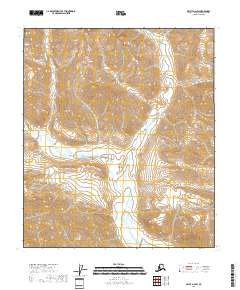
2018 · Arctic D-2 SW
USGS Topo · 1:25,000
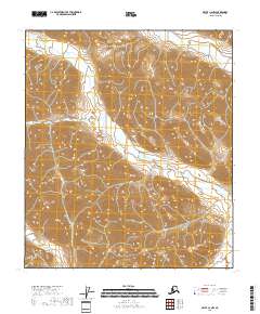
2018 · Arctic C-2 NW
USGS Topo · 1:25,000
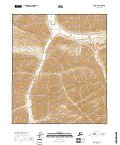
2018 · Arctic D-3 NW
USGS Topo · 1:25,000