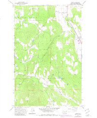
1965 Map of Arden
USGS Topo · Published 1980About this map
The Colville Valley serves as a vital corridor for industry and transit in this 1960s study of Stevens County, Washington. The Great Northern railroad tracks parallel the Colville River and Highway 395, linking the small settlements of Arden and Orin. This low-lying agricultural and transport spine is flanked by the rising terrain of North Basin and Marble Mountain, where more isolated clusters like Reidel and Cole are found. Extraction and resource management are evident throughout the landscape, from the Ham Mine near Swiss Valley to numerous operations labeled as Quarry, Quarries, and Gravel Pit. The map also captures several small water bodies tucked into the eastern hills, including Blue Lake, Lenz Lake, and Erickson Lake, providing a detailed look at the rural drainage patterns of Stranger Creek and Haller Creek.
Find a feature on this map
34 named features on this map. Tap any name to fly to it.
Don’t see what you’re looking for? This feature index may not catch every label — zoom into the map to look around manually.
Map Details
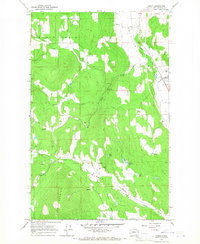
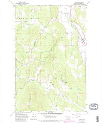
Editions of this 1965 Arden Map
3 editions found
Other maps of this area

1927 · Chewelah
USGS Topo · 1:125,000

1929 · Colville
USGS Topo · 1:125,000

1930 · Chewelah
USGS Topo · 1:125,000

1933 · Colville
USGS Topo · 1:125,000

1936 · Marcus
USGS Topo · 1:96,000

1942 · Marcus
USGS Topo · 1:125,000

1948 · Kettle Falls
USGS Topo · 1:62,500

1950 · Inchelium
USGS Topo · 1:62,500

1951 · Kettle Falls
USGS Topo · 1:62,500

1952 · White Mud Lake
USGS Topo · 1:24,000