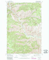
1968 Map of Ardenvoir
USGS Topo · Published 1987About this map
Entiat River carves a deep path through the Entiat Valley in this late 1960s study, updated with photorevisions in the 1980s. The small settlement of Ardenvoir serves as the primary outpost in a landscape dominated by the Wenatchee National Forest and the Entiat State Wildlife Area. This area of central Washington exhibits a specialized mountain economy and conservation footprint, featuring a Fish Hatchery along the river and the Steliko Lookout Tower perched on the heights to the north.
Find a feature on this map
69 named features on this map. Tap any name to fly to it.
Don’t see what you’re looking for? This feature index may not catch every label — zoom into the map to look around manually.
Map Details
Editions of this 1968 Ardenvoir Map
3 editions found
Other maps of this area

1901 · Chelan
USGS Topo · 1:125,000

1957 · Wenatchee
USGS Topo · 1:250,000

1968 · Orondo
USGS Topo · 1:24,000

1968 · Entiat
USGS Topo · 1:24,000
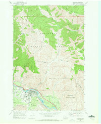
1968 · Cashmere
USGS Topo · 1:24,000

1968 · Tyee Mtn.
USGS Topo · 1:24,000

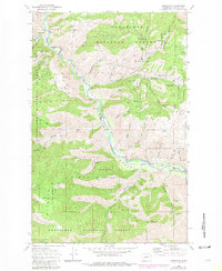
1968 · Ardenvoir
USGS Topo · 1:24,000

1968 · Baldy Mtn
USGS Topo · 1:24,000
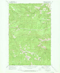
1968 · Chumstick Mtn
USGS Topo · 1:24,000

1968 · Winesap
USGS Topo · 1:24,000