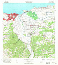
1964 Map of Arecibo
USGS Topo · Published 1968About this map
Sugar production and coastal infrastructure define the landscape of Arecibo during the mid-1960s. The northern coast is anchored by the Faro and the protected waters of the Puerto de Arecibo, while the industrial heart of the region is evident at Central Cambalache and Central Los Caños. These sugar mills were central to the local economy, supported by the Central railroad line and a network of rural settlements like Bajadero and Domingo Ruíz.
Find a feature on this map
100 named features on this map. Tap any name to fly to it.
Don’t see what you’re looking for? This feature index may not catch every label — zoom into the map to look around manually.
Map Details
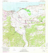
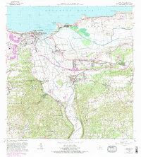
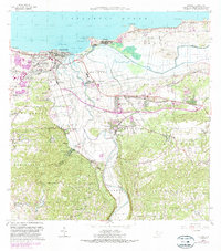
Editions of this 1964 Arecibo Map
4 editions found
Other maps of this area

1938 · Camuy
USGS Topo · 1:20,000

1942 · Arecibo
USGS Topo · 1:30,000

1942 · Camuy
USGS Topo · 1:30,000

1942 · Barceloneta
USGS Topo · 1:30,000

1943 · Utuado NE
USGS Topo · 1:10,000

1946 · Barceloneta
USGS Topo · 1:30,000

1946 · Utuado
USGS Topo · 1:30,000

1946 · Bayaney
USGS Topo · 1:30,000

1946 · Arecibo
USGS Topo · 1:30,000

1946 · Florida
USGS Topo · 1:30,000