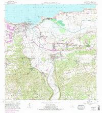
1964 Map of Arecibo
USGS Topo · Published 1990About this map
The coastal city of Arecibo and its surrounding northern plains are defined here by the winding course of the Rio Grande de Arecibo and the industrial presence of the sugar industry. Sugar production remains a central economic pillar at this time, evidenced by the large Central Cambalache and Central Los Caños complexes. These mills, along with the Aeropuerto de Arecibo and various local sub-barrios like Bajadero and Dominguito, illustrate the transition from traditional agrarian land use toward modern infrastructure.
Find a feature on this map
94 named features on this map. Tap any name to fly to it.
Don’t see what you’re looking for? This feature index may not catch every label — zoom into the map to look around manually.
Map Details
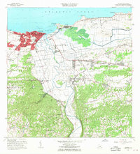
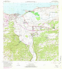
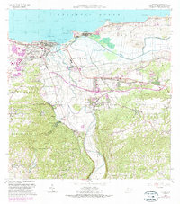
Editions of this 1964 Arecibo Map
4 editions found
Other maps of this area

1938 · Camuy
USGS Topo · 1:20,000

1942 · Arecibo
USGS Topo · 1:30,000

1942 · Camuy
USGS Topo · 1:30,000

1942 · Barceloneta
USGS Topo · 1:30,000

1943 · Utuado NE
USGS Topo · 1:10,000

1946 · Barceloneta
USGS Topo · 1:30,000

1946 · Utuado
USGS Topo · 1:30,000

1946 · Bayaney
USGS Topo · 1:30,000

1946 · Arecibo
USGS Topo · 1:30,000

1946 · Florida
USGS Topo · 1:30,000