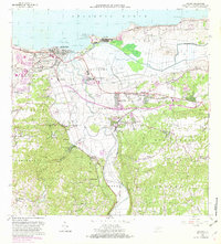
1964 Map of Arecibo
USGS Topo · Published 1982About this map
The Rio Grande De Arecibo winds through a landscape of coastal industrial centers and expanding residential barrios in this mid-century portrait of northern Puerto Rico. The sugar industry remains a dominant feature of the economy, evidenced by the large Central Cambalache and Central Los Caños facilities located south of the main city. In Arecibo, urban development is concentrated in neighborhoods like Miramar, San Luis, and Buenos Aires, while the northern coastline is defined by topographic features such as Punta Morrillos and the Cano Tiburones wetlands. Institutional growth is visible through numerous education and health sites, including the Escuela Superior Vocacional and the Hospital de Distrito. To the east, the Aeropuerto De Arecibo sits near Santana, marking the transition between the agricultural plains and the limestone hills of Arenalejos and Sabana Hoyos.
Find a feature on this map
93 named features on this map. Tap any name to fly to it.
Don’t see what you’re looking for? This feature index may not catch every label — zoom into the map to look around manually.
Map Details
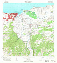
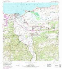
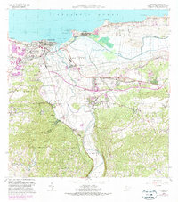
Editions of this 1964 Arecibo Map
4 editions found
Other maps of this area

1938 · Camuy
USGS Topo · 1:20,000

1942 · Arecibo
USGS Topo · 1:30,000

1942 · Camuy
USGS Topo · 1:30,000

1942 · Barceloneta
USGS Topo · 1:30,000

1943 · Utuado NE
USGS Topo · 1:10,000

1946 · Barceloneta
USGS Topo · 1:30,000

1946 · Utuado
USGS Topo · 1:30,000

1946 · Bayaney
USGS Topo · 1:30,000

1946 · Arecibo
USGS Topo · 1:30,000

1946 · Florida
USGS Topo · 1:30,000